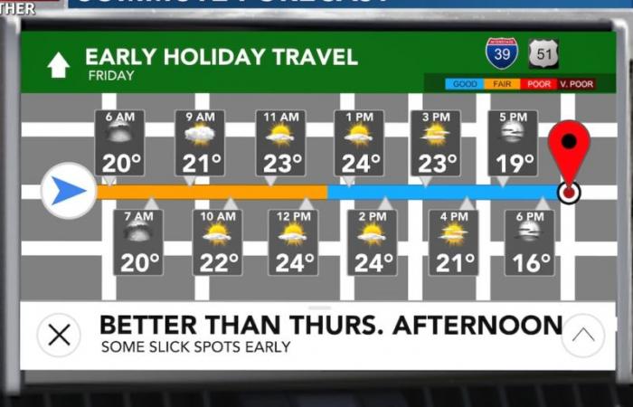
WAUSAU, Wis. (WSAW) – We are ending the week calmer than yesterday. A couple light snow showers cannot be ruled out very early during the morning commute, but otherwise the snow from yesterday will move east. At least a few slick spots are expected on the morning commute. By this afternoon, roads are going to be in better shape. They will continue to be in good shape this weekend.
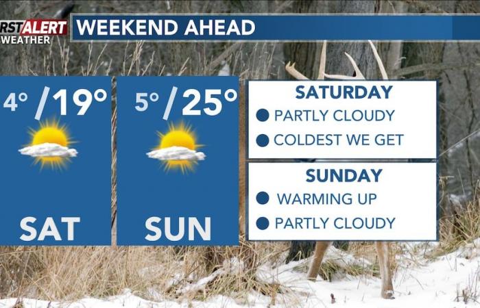
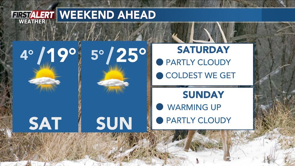
This weekend will feature our coldest stretch we will have over the next week or so. Both Saturday & Sunday morning will feature single-digit low temperatures. Saturday afternoon will be the coldest high we have: mid to upper-teens across north central Wisconsin.
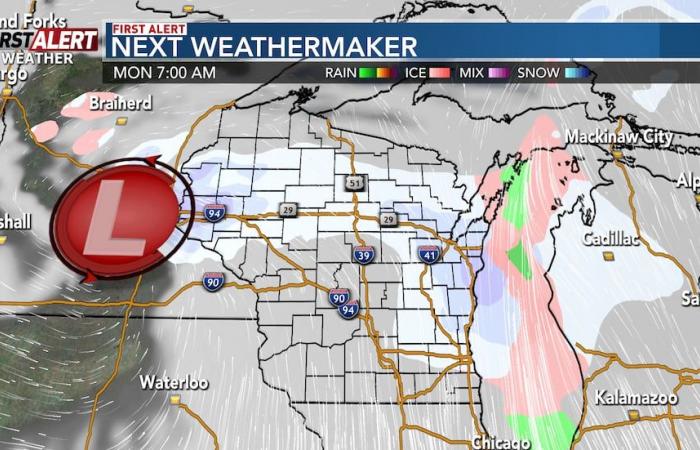
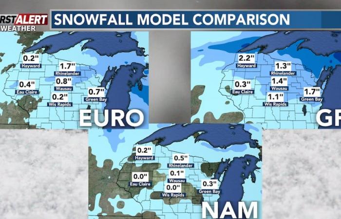
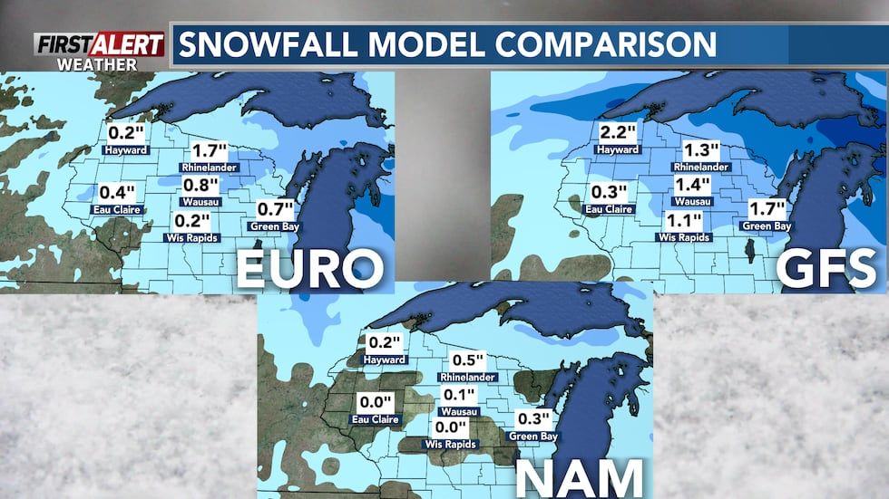
Our next Weathermaker is set to arrive on Monday. The biggest question with this system is how everything is going to track. I do expect snowfall totals to be lower than what we picked up last night: about 1-2″ of snow on the high end (though not everyone may end up in this range). Stay tuned for updates on what communities could pick up the highest snow.

By Christmas next week, we are expected to have mild conditions return again with mid to upper-30s for highs. This will cause any snow we got yesterday, or get on Monday, to melt. Although it’s still early to tell for certain how much snow will melt by the middle of next week. Above-average temperatures are expected to mostly stick around through the end of 2024.
Copyright 2024 WSAW. All rights reserved.

