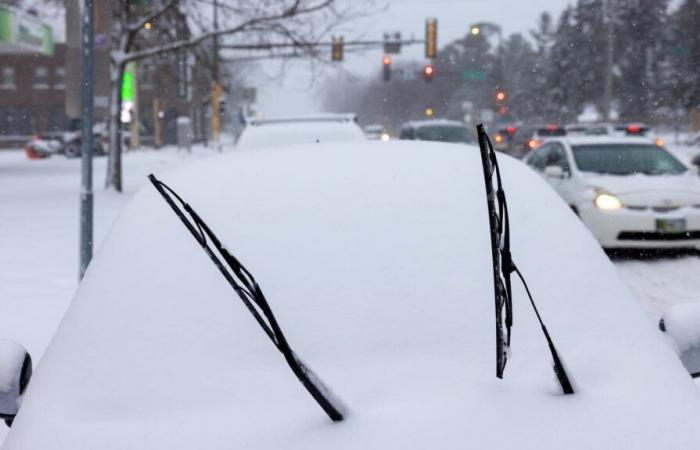
A quick burst of snow has painted our brown landscape into a winter wonderland. The clipper system will keep moving southeast, reaching southern Minnesota and northeastern Iowa by late Thursday afternoon. After a brief lull in snowfall, wrap-around snow showers may bring another 1 to 2 inches along with blowing winds.
Minnesota snow totals
Our snow spotters through CoCoRaHS (Community Collaborative Rain, Hail and Snow Network) have been submitting snowfall reports steadily since early Thursday morning. Intense bursts of snow have covered a wide area of the Twin Cities metro with accumulations ranging from 3 to 6 inches — and the snow continues to fall.
Here are some of the latest snowfall totals from the National Weather Service:
-
6.5 inches — Blakely
-
6.1 inches — Heidelberg
-
5.6 inches — Henderson
-
5.5 inches — Rochester
-
5.3 inches — Carver
-
5.2 inches — Richfield
-
5.0 inches — Rosemount, Savage, Montgomery, New Prague
-
4.9 inches — Cannon Falls, Northfield
-
4.8 inches — Elko New Market, Lake City
-
4.4 inches — Bloomington
-
4.3 inches — Faribault
-
4.2 inches — Excelsior
-
4.0 inches — Minnetonka
-
3.7 inches — Edina, Minneapolis
Warnings and advisories continue
Winter storm warnings and winter weather advisories remain in effect until midnight and 3 a.m. Friday, respectively. The moderate to heavy snow will taper off by late Thursday afternoon, but gusty northwest winds and blowing snow will create hazardous weather and travel conditions.
Winter storm warnings and advisories
National Weather Service
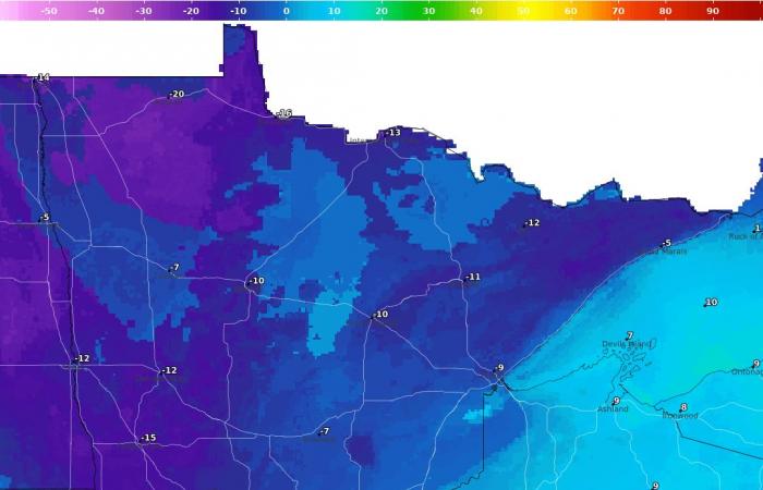
Light snow will linger into Thursday night, producing another 1 to 2 inches of snow. Gusty northwest winds between 30 to 40 mph will lead to blowing snow and windchill values falling below zero Thursday night into Friday morning.
Wind chill temperatures 9 a.m. Friday morning
National Oceanic and Atmospheric Administration
MPR News helps you turn down the noise and build shared understanding. Turn up your support for this public resource and keep trusted journalism accessible to all.


