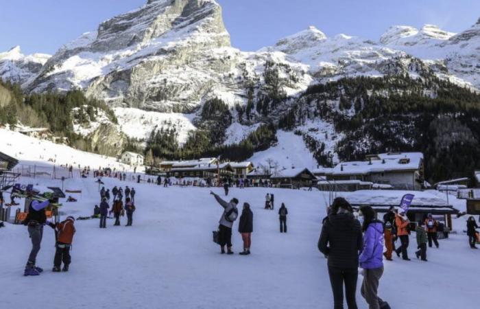
From this Thursday, December 19, a new snowy episode sets in in the Alps, marking a significant change in weather in the mountainous region. The increase in cloud cover throughout France is accompanied by snow precipitation from mid-altitude. According to the latest forecasts, the northern part of the Alps should be best supplied with flakes.
Up to 40 cm in Savoie
According to the Extrême Météo website, significant accumulations could be recorded above 2000 meters of altitude, with up to 40 cm of snow expected in certain areas, notably in the Vanoise massif, in Savoie. On the other hand, below 1200 meters, snow will have more difficulty accumulating, even if the rain-snow limit should gradually drop towards 600-700 meters at the end of the week.
The first snow showers are expected this Thursday morning, particularly in areas close to the borders with Switzerland and Italy. If a calm is expected in the afternoon, the disturbance should intensify in the evening. The latter will be accompanied by a gradual descent of the rain-snow limit towards lower altitudes, even reaching 700 to 900 meters during the night from Thursday to Friday according to Météo Alpes.
Snowflakes up to 700 meters
For the day of Friday, the weather conditions will gradually improve. After a start to the day marked by clouds and a few snowflakes up to 500 or 700 meters, clearings will become more widespread in the afternoon. Despite this, the weather will remain cool with a moderate northerly wind, particularly in exposed areas.
Saturday and Sunday, clouds will dominate in Haute-Savoie, where light snowfall is possible on the summits, while in other areas such as Oisans (Hautes-Alpes, Isère) or Haute-Maurienne (Savoie) , clearings will mix with cloudy periods. Temperatures will remain cool, with minimums between -4 and 0°C on Saturday morning and maximum temperatures reaching +6 to +9°C in some valleys.
At the start of next week, the situation could become unstable again with a strong northwesterly flow, leading to further precipitation in the mountains, with heavy snowfall. Meteorologists therefore invite us to carefully monitor the evolution of these conditions.
In short, the end of the week promises to be wintery in the Alps, with a program combining snowfall, clearings and cool temperatures. A well-marked start to winter for our departments for the start of the end-of-year holidays.


