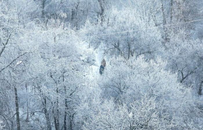
SGrab, if you haven't already, hats, gloves and scarves: you'll have to take advantage of the last days of an autumn which, so far, has been relatively mild, despite some gray weather at the start of the week. Météo-France predicts that the next few hours will mark the start of particularly wintry weather across the country. Thursday, December 5, an Atlantic flow will bring “rain, in mild and humid air, to the northern three-quarters of France”.
Every Saturday at 4 p.m.
Receive all the latest science and tech news and dive into major talks, major discoveries, innovations and behind the scenes…
Merci !
Your registration has been taken into account with the email address:
To discover all our other newsletters, go here: MyAccount
By registering, you accept the general conditions of use and our confidentiality policy.
It will be followed by another disturbance during the night from Thursday to Friday, which will be accompanied by gusts from the southwest then from the west. The Pyrenees, the Massif Central and the Alps will be particularly affected. If temperatures, falling last weekend, are going to rise Thursday afternoon and Friday, it may not last.
ALSO READ This is why the snow is whiteThis disturbance, which will extend until Saturday, will ultimately signal the start of a windy disturbance, particularly intense in the North-West. We owe this situation to “a fairly deep depression from the British Isles towards Germany which could cause strong gusts as far as France on Saturday as well as copious rain”, specifies the meteorological organization.
Winter cold until next week
Cold air will rush in and a risk of snow at low altitude cannot be ruled out. Starting on Sunday, a descent of “moderately cold” maritime polar air will cause a drop in temperatures, which should quickly fall below seasonal norms. In the afternoon, temperatures between 2 and 10°C are expected from the North-East to the South-West.
To Discover
Kangaroo of the day
Answer
In addition to the snow, which could cover the plains in white, rain will also potentially be added, “in a more or less organized manner”. At this time, the overwhelming majority of the country will not see the mercury cross 10°C until the middle of next week. Wednesday December 11 could be the most difficult day, with highs in the Far West which will not exceed 4°C, or even 0°C in the North-East.
ALSO READ Does the weather really have an influence on rheumatism? Magnanimously, Météo-France underlines that these forecasts will allow the snow to cover “all the massifs with a thick white coat two weeks before the Christmas holidays”. It's not tomorrow that the end of year celebrations (and their eternal New Years) will be celebrated in t-shirts and Bermuda shorts!


