It’s not much, but some flurries and snow showers are expected later Thursday and into at least part of Friday.
HARRISBURG, Pa. — A potent storm system crosses through Wednesday night into early Thursday morning, and it finally brings some November chill to Central Pa.!
Although some wet flakes could mix in on the backside of this system before exiting Thursday morning, a better chance at some snow showers comes later Thursday night and into Friday.
An upper level area of low pressure attached to this system slows down as it tracks through the Mid-Atlantic and strengthens before it exits, allowing intense wind gusts and triggering the lake effect snow machines for the first time this year! Where it tracks could also bring additional snow showers to much of Central Pa.
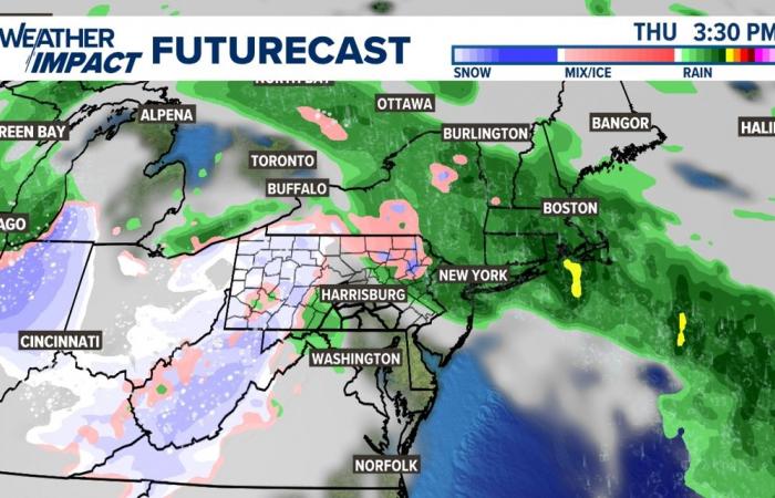
Lake effect sprinkles and even some flurries are expected to start later Thursday afternoon and evening. Temperatures reach the middle to upper 40s, so it could take well into the evening for some areas to see lake effect flurries mix in with the sprinkles.
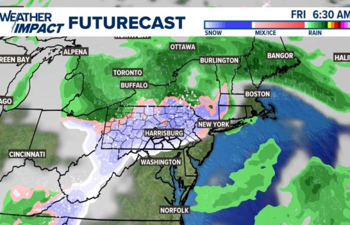
But as that happens, a developing surface area of low pressure backs into northeast PA and produces some light snow up there! As the low pressure shifts west through Friday morning, it’s looking more likely that snow showers wrapping into the back end of the system move south into our area! It’s worth noting here that temperatures won’t drop down to freezing in most spots, so much of this won’t stick. This is also a wet snow, making it easier for the ground to quickly melt any flakes. The only possibility the FOX43 Weather Team sees for any accumulation right now is at our highest elevations where temperatures could dip down to 32 degrees long enough to allow for a spotty coating. More than likely, this would be for the grassy areas. All roads regardless of elevation are expected to be wet, but at least slush should not slow down travelers Friday morning.

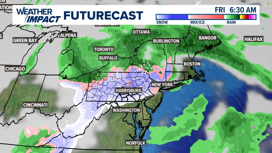
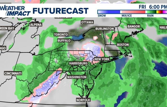
As temperatures warm through Friday morning, rain showers start mixing in with the wet snow showers. Roads continue to be wet, but manageable.

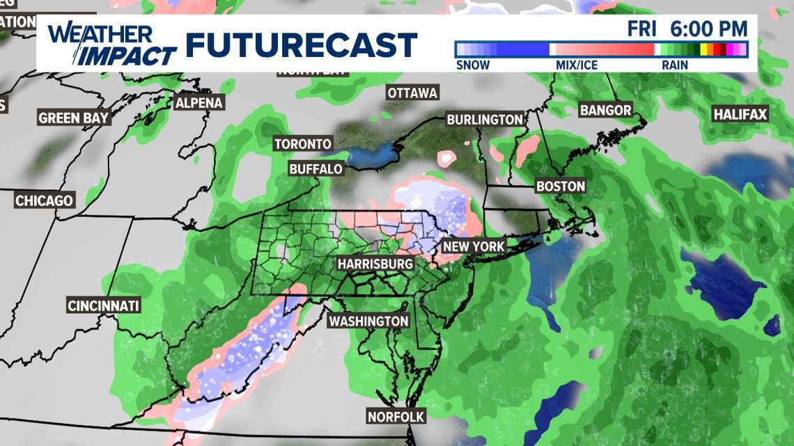
In short, many of us see the first flakes of the season, but accumulations are unlikely for most, if not everyone. Travel should be minimally impacted. We’ll watch the trends to see if the cold continues to come in strong enough, but for now, don’t expect much to come out of it.
Check back for updates, because there can be changes!
You can go to our forecast for the rest of the Weather Impact forecast, including the most up to date information on the Thursday night to Friday forecast!
Belgium

