If you haven’t gotten your hat and winter jacket out of the closet yet, you should do so as soon as possible. Because tomorrow the first snow is expected to fall in the lowlands. SRF Meteo editor Jürg Zogg knows how long he will stay.
Jürg Zogg
Meteorologist SRF
Open the people box
Personen-Box suction cups
Jürg Zogg has been working as a meteorologist at SRF Meteo since April 2004. He completed his geography studies at the University of Zurich with a focus on climatology and atmospheric physics. He then worked for the weather service Meteomedia in Appenzellerland for almost five years.
Is the big snow coming now?
In some places there will be a good amount of fresh snow until Friday. The quantities are greatest in the western Alps, such as in the Lower Valais. Since the majority of precipitation falls in connection with a warm front, this is exactly where milder air temporarily comes into play. The snowfall limit in Chablais, for example, will temporarily rise to 1,300 to 1,800 meters above sea level on Thursday evening. Above that, 60 to 80 centimeters of fresh snow is possible, but with large snow drifts.
Which regions can look forward to snow?
Basically, snowfall will occur almost all over Switzerland during the course of Thursday. While there could be enough snow cover of 10 to 20 centimeters in the lowlands from the canton of Aargau eastwards, further to the west it is less. A few centimeters of fresh snow will initially fall, but later the snowfall line will rise slightly and there will be sleet, rain and mud – before snow falls all the way down again on Friday night. In the cantons of Friborg, Bern and Valais they are located exactly in the transition area between the two air masses. There can be great contrasts of snow, rain and locally freezing rain in a small area. You have to be prepared for slippery roads and sidewalks in all regions.
How long does the snow stay there?
In the lowlands the snow will begin to thaw somewhat during Saturday. On Sunday the snow will continue to get worse with intermittently sunny weather, foehn and eight to twelve degrees.
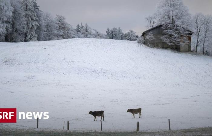
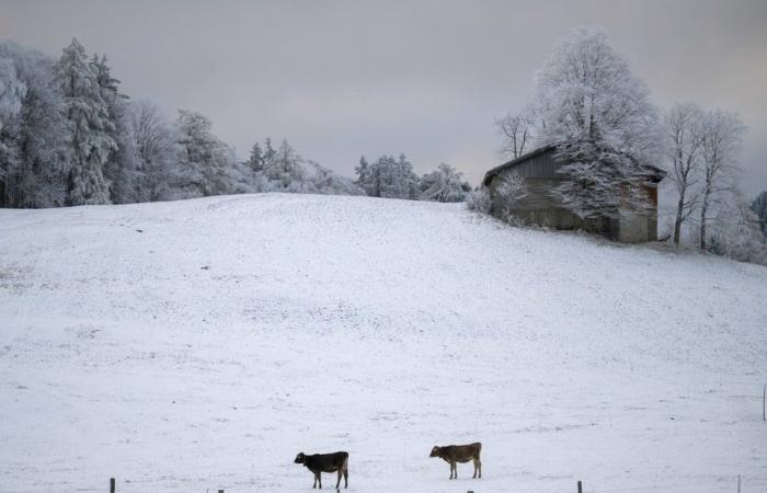
These cows experienced their first snow last week. (Image: St. Margrethenberg, St. Gallen, November 14, 2024)
Keystone/ Gian Ehrenzeller
Is the timing normal?
On a long-term average, the first measurable snow falls in the lowlands of German-speaking Switzerland at the end of November or beginning of December. Now we are a few days earlier – but this is not unusual.
How cold will it be in the coming days?
The coldest day will be Friday with just over 0 degrees in the lowlands and minus 10 degrees at 2000 meters. Temperatures are already rising again this weekend. The warming is also extreme at altitude. On Sunday at 2000 meters it is 9 degrees, almost 20 degrees warmer than 48 hours before.
When will the next snow come – or has it already?
I don’t see any further onset of winter into the lowlands on the weather maps at the moment. However, we make weather forecasts for the next ten to a maximum of 14 days. What comes next is still unclear.
SRF Weather App
Open the box
Box zuklappen
Take a look at the SRF Meteo app now and be ready for any weather – fast, reliable, up-to-date. Don’t you have the SRF Meteo app on your smartphone yet? Then download it here.
Install now and get started.


