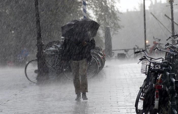
More power outages and widespread rain are possible.
The Metro Vancouver weather forecast for the rest of the week includes another powerful windstorm which follows Tuesday’s “bomb cyclone.”
The bomb cyclone left thousands of BC Hydro customers without power, with multiple outages lasting through Tuesday night and into Wednesday (Nov. 20). The company said in a post on X, formerly Twitter, that it “made significant progress overnight restoring power to over 175,000 customers – nearly two-thirds of the more than 272,000 impacted.”
Environment Canada Meteorologist Brian Proctor told V.I.A. winds from the potent storm system will gradually ease during the day and into the night on Wednesday, gusting 40 km/h to 60 and slightly higher in Boundary Bay and the Fraser Valley.
Showers are also expected on the “back side of the frontal system,” and the unsettled atmosphere could see a few lightning strikes, he noted.
Environment Canada issued a weather advisory early Wednesday morning due to elevated ocean water levels with high winds and waves, calling for “minor flooding near coastal areas.”
Proctor said parts of Tsawwassen in South Delta may see minor flooding in the Boundary Bay area but other places near the water, such as the Stanley Park seawall in Vancouver, are less likely to be impacted.
Thursday’s forecast includes the best conditions for being outdoors, with some sunny breaks expected during the day before the next storm system moves in overnight.
Metro Vancouver weather forecast includes heavy rainfall
This next system is expected to bring more widespread rain to the region, with amounts of 25 to 50 mm possible, or “just under rainfall warning amounts,” Proctor explained.
“But we don’t want to hang our hats on that amount just yet,” he clarified, noting that there is significant uncertainty associated with the next wet, windy weather event.
“We are seeing diverging [results] in our computer models,” he said. “It’s also going from the Oregon Coast and looks like the last one but it will have more widespread rain.
Power outages and localized flooding due to heavy rainfall are possible during the next storm, Proctor noted.
More mixed rain or snow is expected on the North Shore mountains and conditions will also be cool at lower elevations.
Heading into the weekend, Metro Vancouverites should expect highs around 6 C and lows of 2 C, slightly cooler than seasonal averages (high of 8 C and low of 2 C).
Stay up-to-date with hyperlocal forecasts across 50 neighbourhoods in the Lower Mainland with V.I.A.’s Weatherhood.


