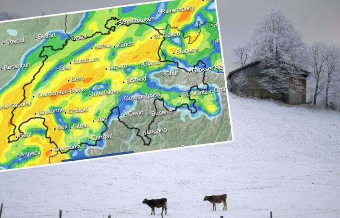
Cows in the snow in St. Margrethenberg.Bild: keystone
There is currently less snow in the mountains than ever before. The first fresh snow has not yet fallen in the Mittelland either. But now the cold is coming from Scandinavia.
Bruno Knellwolf / ch media
For the first time last week, a hint of the white magic could be seen from the Mittelland after the fog had cleared. On November 12th there was fresh snow for the first time down to around 700 meters. Some people probably remembered that they were still using summer tires or that they hadn’t had their skis serviced yet.
Most Swiss people associate the first snow with the beginning of winter. But especially when it falls right on our doorstep. It’s not that far yet. To date, there has been no measurable snow in the Swiss plateau, as Meteo Switzerland’s snow measuring stations show.
Now the snow is coming – and strong gusts of wind
But now we flatlanders will soon be wiping the snow off our cars. “On Wednesday night, a cold front will reach us from the northwest with bangs and trumpets,” says meteorologist Felix Blumer from SRF Meteo. This not only brings a massive drop in temperature, but also wind gusts of 80 kilometers per hour in lowlands and up to 100 kilometers per hour in exposed places. Hurricane gusts are even inevitable in the mountains. The peak values there are likely to be in the order of 170 kilometers per hour.
Meteorologist Felix Blumer from SRF Meteo.Bild: SRF/Oscar Alessio
We then find ourselves on the southern edge of a large body of cold air over Scandinavia. In the second half of the week, nighttime temperatures in the Central Plateau are likely to be below freezing, usually around minus 3 degrees. It will be warmer in the afternoon: values between 2 and 5 degrees can be expected in the Central Plateau.
“As early as Wednesday it will probably turn white in places in the lowlands,” says the SRF meteorologist. Snowfall is always possible on Thursday and Friday, especially during the night from Thursday to Friday. But the snow on our doorstep will be over again. Significantly milder air is expected to reach us over the next weekend.
Snow before mid-November is becoming less common
The fact that there is fresh snow at low altitudes until mid-November only happens occasionally. “In the lowlands there is snow before mid-November about every fourth year.” However, the statistics are not entirely accurate. If snow falls during the day or at night, it is not yet certain that this snow will actually be measured. This is because the fresh snow may have melted again by the time the measurement is taken at 7 a.m. the next morning.
Blumer currently cites the example of St.Gallen: One centimeter of snow was measured there on Thursday morning. This is the first time since 2017. Before that, fresh snow was more common. Almost every year there was the first measurable snow in St.Gallen before mid-November. In 2012, a total of 33 centimeters of snow was measured on October 29th. In previous years, the first snow at this measuring station occurred in October.
The new snow will therefore come later. In the mountains the situation is now even precarious. “Natural snow is only marginal,” says Blumer. “The snowfall last week was too low for a real layer of snow.”
This is confirmed by Christoph Marty from the Institute for Snow and Avalanche Research (SLF) in Davos. Up to 1500 meters, the snow depth in the ski areas is currently slightly below average. “But above 2000 meters the situation is extraordinary,” says Marty. This is only the third time there has been so little snow since measurements were taken.
The reason for the lack of snow is, firstly, the dryness. October was extremely dry, as was the first half of November with its many hours of sunshine above the fog. The second reason is climate change. Because of warming, new snow tends to melt away more quickly. Snow has already fallen up to 1500 meters this September and October. But he was soon gone again. In the past, such snow stayed longer, says Marty. This then provided a base in the highest ski areas.
The SLF researcher now expects a relatively large amount of snow at high altitudes this week. This will probably stay there. “Further down, around 1,500 meters, it will quickly disappear again.”
“At an altitude of 1,500 meters, an increase in snow of around 40 centimeters to one meter can be expected,” adds Blumer. How much remains at the end depends not only on the heat, but also on the wind. Due to the expected stormy wind from westerly directions, the snow can be transported heavily, which means that certain areas will remain clear.
Ski resorts are opening soon
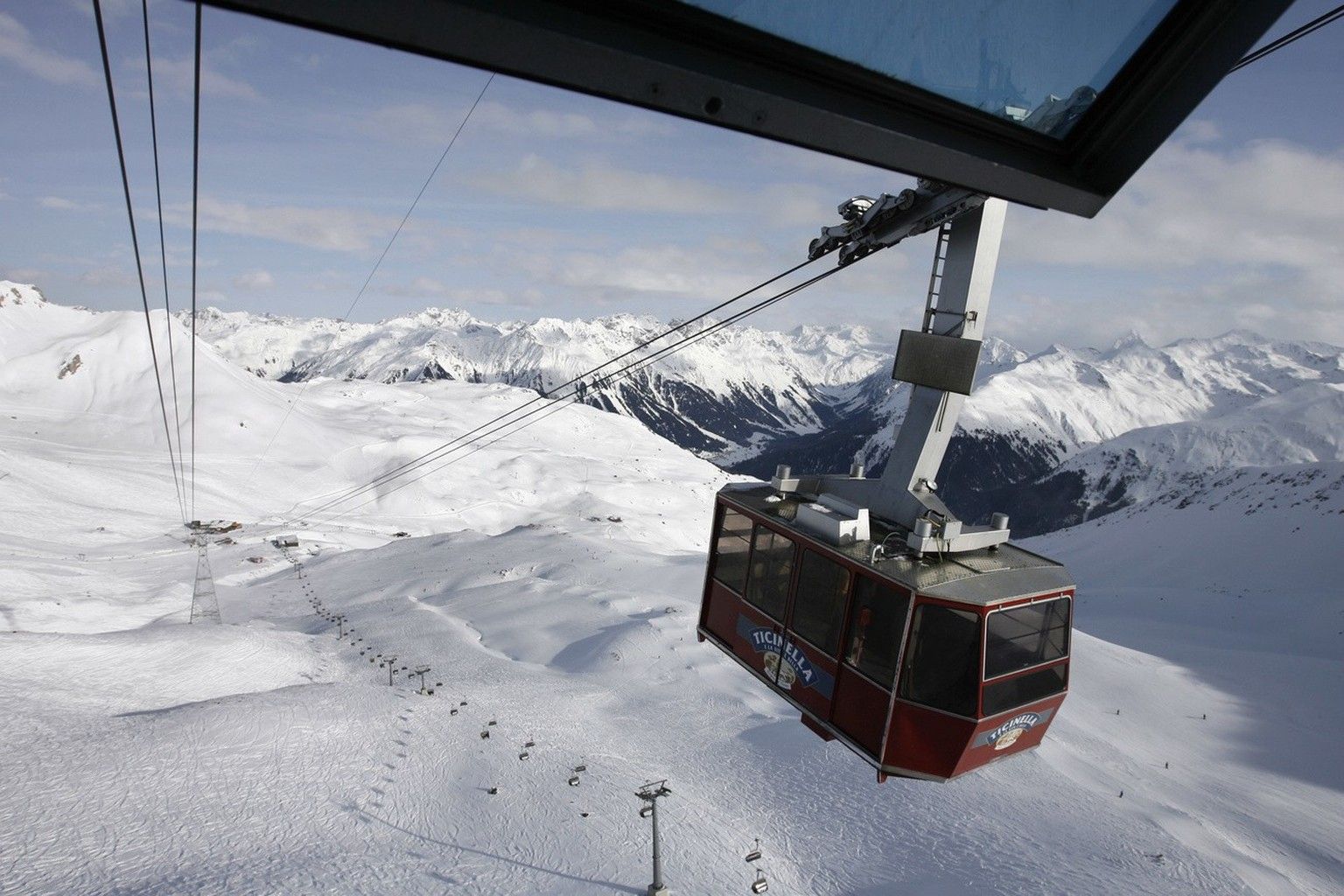
Despite the lack of snow, the Davos ski area will open its first slopes on Thursday. This is possible because it was cold enough last week to produce artificial snow. Especially at night. Engelberg started the ski season on October 26th, but only on the glacier. Now the snow cannons are in operation in the upper elevations. Laax starts on November 30th. «We were able to start making snow last week. Whether the start of the season can take place as planned will become clear in the next two weeks. The temperatures and weather conditions are crucial,” says Martina Calonder from the “Weisse Arena Group” in Laax.

Despite the lack of snow, the Davos ski area will open its first slopes on Thursday.Bild: KEYSTONE
The Pizol area was also able to start using technical snowmaking. This is the perfect timing for a snow sports area at the altitude of the Pizol, which reaches an altitude of 2,250 meters, says Jürg Schustereit from Pizolbahnen AG. Ski operations in Wangs start on December 7th. If the snow and weather conditions are good, an early weekend operation is conceivable.
The Adelboden-Lenk ski region is planning continuous winter operations on December 7th. “We are working hard at the start of the season,” says Stefanie Inniger from the Adelboden-Lenk mountain railways. If possible, the Elsigen-Metsch area will open before December 7th. Other areas such as Tschentenalp, Engstligenalp and Lenk Betelberg are planning ski operations from December 21st. “At the beginning of last week we were able to put our snow system into operation for the first time and produce a first, small layer of snow in the upper areas of the ski area and finally test our snow system,” says Inniger.
Nature actually makes ski guns obsolete
“Actually, from Wednesday there will no longer be a need for snow cannons in the ski areas, because Ms. Holle will be taking over the job,” says meteorologist Blumer. “However, it makes sense to keep the snow cannons running so that there will be enough snow for the holidays.” According to the current forecast models, it should become milder again towards the end of this month, even if a thaw at an altitude of more than 1500 meters is not actually expected.
Because of the forecast snow, the Avalanche Research Institute will be publishing an avalanche bulletin for the first time this week. The SLF only does this if there is actually a danger somewhere. According to Christoph Marty, there will be a higher level of danger on the northern slope of the Alps. However, the avalanche expert does not expect this to happen in the Engadin and Valais. (aargauerzeitung.ch)
More about the weather in Switzerland:


