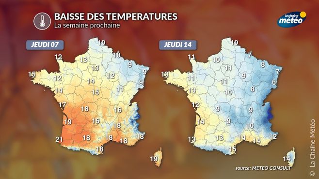
If the situation remains fairly calm next week, the flow will shift to the northern sector and temperatures will drop to simply return to normal.
Thermal indicator © The Weather Channel
France stuck between an anticyclone and a cold drop
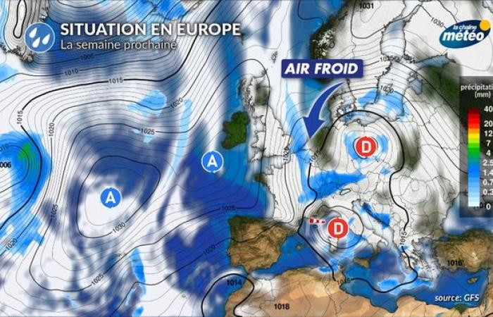
Benefiting until then from an anticyclone of subtropical origin with mild air at altitude, France will pass into a northerly flow in the middle of next week. Cooler air will arrive in the country from the east, in connection with a cold drop (-30°C at 5000 m), which will be positioned in Central Europe.
Situation in Europe next week © The Weather Channel
Return to seasonal temperatures
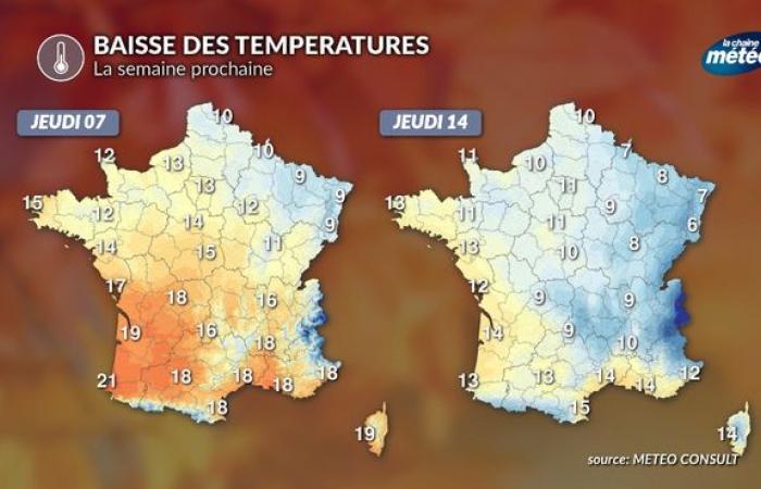
The temperature level is currently so high that the values will simply return to seasonal norms. The drop will be more marked in the south, where the sun and mildness are currently more present than in the north. Thus, maximum temperatures could lose between 5 and 8°C on average in the southern half but only 2 or 3°C in the northeast. With the north wind in the middle of next week, it will even feel quite cold from the northeast to the center-east.

Maximum temperatures © The Weather Channel
A risk of snow in the mountains and at low altitude?
The weather could become more disturbed from the east in the second part of the week, linked to the depressions circulating in Central Europe. With the drop in temperatures and humidity, snow could appear on the eastern reliefs at fairly low altitudes, which would be excellent news a few weeks before the Christmas holidays.
This drop in temperatures will simply be a return to seasonal conditions. No return to disturbed westerly flow conditions is currently envisaged.
France


