To understand the Iceland Faroe Slope Jet’s role in this system and find its point of origin, Pickart’s team set out to find clues.
“It leaves an imprint, a certain signature of temperature, salinity, speed: we can trace it,” says Stefanie Semper, thirty-six, a physical oceanographer and scientist at the University of Bergen, in Norway.
It was Semper who, in 2019, carried out the first analysis of the original IFSJ data.
“At my institute, we still call it Stefanie’s current,” she revealed with a laugh.
On this expedition, Semper collected the imprint left by the current using a CTD probe, an instrument designed to measure electrical conductivity (for salinity), temperature and depth of water, and other instruments to determine its speed. The CTDs are monitored by watchstandersor “watchmen” who, with the exception of Semper, are all post-doctoral or doctoral researchers who work day and night in teams of two.
CTD probes are installed on rosettes made of large metal bottles. To carry out these measurements, these rosettes are lifted by a hydraulic arm, transported to the side of the ship, then lowered into the water. From the main lab, Semper directed these operations with the night shift, communicating by walkie-talkie with Chris Cabell, the crew member responsible for controlling the hydraulic arm from a vantage point two stories above. Sitting in front of twelve computer screens, she calculated the distance the CTD would have to travel to reach the ocean floor.
“And now we are waiting to reach 1,000 meters,” she described as the CTD descended into the depths. Two colored vertical lines then appeared on the graph on one of the screens, and the sensors began transmitting data.
Later, in the early morning, Semper put on a winter coat, life jacket and protective helmet and went to retrieve and secure the CTD so the ship could continue on its way.
Missions of this type are cold and damp; Earlier that night, Semper had almost been hit by a wave that had invaded the bridge.
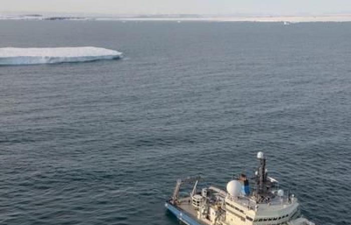
In total, the watchstanders of the team made 212 descents with the CTD, while Pickart collected the data in real time and captured a vertical snapshot of the current. Using this snapshot and the weather forecast, the captain and researcher occasionally adjusted the ship’s course; L’Armstrong thus sailed up to 75° north, well beyond the Arctic Circle, before turning around to return to port.
“75° North is the furthest north we’ve ever been on this ship, I believe within a degree of latitude,” commented Captain Mike Singleton.
On dry land, the data of theArmstrong will be merged with those of two other vessels working in coordination with Pickart’s expedition, and any water samples not processed on board will be analyzed. Pickart also deployed moorings scientists as well as a glider just north of the Faroe Islands, which will collect data for a year before being recovered.


