What is the seismic situation in Lacq?
The very first earthquake was detected in the Lacq basin in 1969. These events became more regular from 1976. And we record, on average, a few dozen earthquakes of magnitude greater than 1 per year, and a few events of magnitude 2 to 3 per year. Six earthquakes exceeded the 4 mark (in 1972, 1978, 1978, 1981, 2013 and 2016). We have no historical traces of older earthquakes felt by the population. It is therefore important to understand the origin of this phenomenon which seems quite recent.
Can we rule out a natural origin for these earthquakes?
Lacq is located near Pau and not far from the Pyrenees. It is legitimate to wonder if the tectonic activity linked to the Pyrenean chain is the cause. This was formed when the Iberian plate collided with the Eurasian plate between 49 and 28 million years ago. Then it underwent a new compression, 16 million years ago, involving the African plate. However, such a collision creates faults, which are zones of weakness in the Earth’s crust, and earthquakes at the level of these faults.
But in the case that interests us, we no longer observe any movement towards the Iberian and Eurasian plates. And even, on the contrary, the earthquakes that we record in the Pyrenees are due to the dynamics of plate separation. Erosion and gravitational movement lead to a new distribution of the mass of the mountain range, technically this is called isostasy.
Lacq is located too far away to present earthquakes linked to the isostasy of the Pyrenees. On a map listing earthquakes, we can see a clear separation between those in the Pyrenees and those in the Lacq basin. The faults found in Lacq, stigmata of the collision of the plates, are considered inactive.
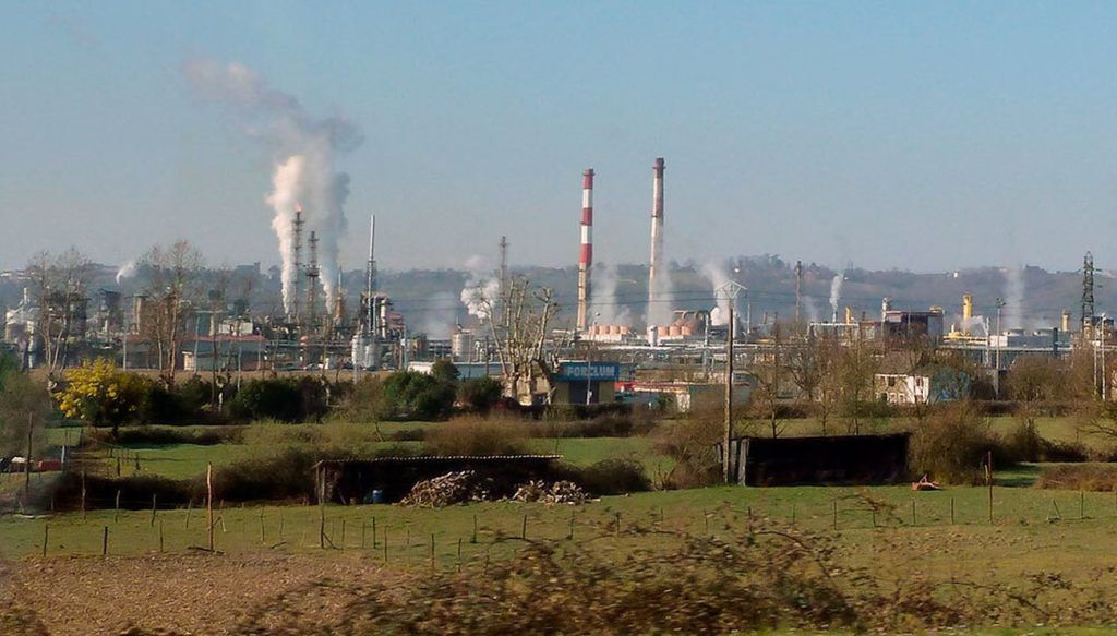
Seismicity since 2019 to today in the southwest of France, extracted from the French national catalog BCSF-Renass. The induced seismicity of Lacq (in orange) is well separated from the seismicity linked to the Pyrenean chain (in red).
© Jean Letort, BCSF-RENASS map
However, a trigger, i.e. a variation in stresses in the crust, is required to explain the presence of earthquakes at Lacq. In this region, long-term tectonic movement or isostasy in the Pyrenees only contribute a negligible amount of stress changes. On the other hand, certain activities of anthropogenic origin could have a greater influence on the distribution of these stresses.
Are these activities linked to the industrial history of the Lacq basin?
Very probably. Large oil and gas reserves have been discovered in Lacq. Oil has been exploited since 1950, coming from a shallow reservoir (700 meters from the surface). Gas extraction began later, in 1957, in a deeper reservoir, between 4 and 5 kilometers deep. Gas exploitation continued until 2013 and has since been very negligible.
After the first earthquake in 1969, extraction was quickly suspected as the cause of the earthquakes. It must be understood that the depletion of the gas reservoir leads to a decrease in pressure in the subsoil, which is restructured. The gas pressure went from 66 megapascals (650 times atmospheric pressure) at the start of operations in 1957 to 1.5 megapascals at the end of its exploitation in 2013.
Is there another hypothesis?
To limit pressure loss, operators inject wastewater into the reservoir. These fluids come partly from extraction. When a hydrocarbon reservoir is exploited, large quantities of fluid that are not needed are also extracted. These are reinjected into the reservoir. In addition, many chemical industries, specializing in thiochemistry (chemical transformation of products containing sulfur), have set up in the Lacq region. Some use the gas, and in particular sulfur, extracted from the reservoir. After treatment, sulfur compounds remain, “wastewater”, called effluents. Instead of storing or reprocessing this water, it is injected into the ground. Sometimes, if the volumes are insufficient, a fraction of the water from the Gave de Pau, a river, is also injected.
We are beginning to have a good understanding of the link between the injection of fluids into the subsurface and seismicity. Numerous studies have been carried out, notably in the state of Oklahoma, in the United States, which in 2015-2016 became the state with the most earthquakes in the country, due to industrial activities using injection of sewage in the basement. Seismicity then decreased from 2017, together with a reduction in injected volumes and the closure of numerous sites.
Can we know if the origin of earthquakes is gas extraction or water injection?
If extraction is the cause of earthquakes, we expect to see two specific signatures: the hypocenter (the location at depth) of earthquakes is favorably located above the reservoir from which the gas is extracted, and, as the latter is exploited and it subsides and contracts (we speak of depletion), the hypocenters of earthquakes migrate from the center to the periphery.
Have you observed these signatures?
Specialists who have studied the Lacq site for fifty years have been confronted with a difficulty. Thanks to industrial surveys, they had a good modeling of the subsoil and the speed of wave propagation, essential for properly locating earthquakes. But the network of instruments in place did not make it possible to carry out a detailed analysis of the different types of seismic waves (longitudinal P and transverse S waves), resulting in great uncertainties in the location of the hypocenters. The results did not all lead to the same conclusion, but some suggested that extraction was indeed the cause.
But extraction stopped in 2013 and earthquakes continue, what can we conclude from this?
To find out what is really happening, since 2020, in partnership with the German Geosciences Research Center, in Potsdam, Germany, we have installed a denser and more sensitive network of sensors which allows us to analyze earthquakes more closely to better locate them.
An important part of our work also consisted of taking back all the data from fifty years ago, and analyzing them in the light of our current knowledge to understand why they led to one result rather than another.
We divided the data into three categories: those where we had no constraints on the location (which represents 84% of the data), those where the precision is less than 2 to 3 kilometers and those where it is less than 1 kilometer.
This new analysis allowed us to have a batch of more coherent data and to conclude that the hypothesis of seismicity essentially linked to extraction was not correct. The origin of the earthquakes seemed to come from the reservoir at depth and did not follow a migration effect towards the periphery. And more interestingly, we obtained temporal correlations.
What do they correspond to?
Since 2016, we have had access to daily data on the volumes of water injected. We found that there was a threshold effect: if a strong injection of fluid continued over several days, then we observed significant seismic activity. This response is not always immediate and can appear within several weeks to a few months. The correlation is statistically strong. And, for example, during the winter of 2018-2019, the number of days with strong injection was lower than in other years and the ensuing seismic activity was decreasing.
Although it is strong, we have only established a correlation between these factors. To firmly establish causality, it would be necessary to build a complete model of the phenomenon, in particular to explain how, through slow diffusion in the ground, the injection of fluid triggers earthquakes with a delay.
What are the challenges of understanding these anthropogenic earthquakes?
In recent years, industrial activities that exploit the ground at depth have multiplied: the extraction of gas and oil whose reservoirs closest to the surface are exhausted, hydraulic fracturing, the injection of wastewater, geothermal energy. deep, CO storage2, etc. There are therefore security issues for local populations and economic questions. As such, three sites in Europe have been extensively studied: a gas exploitation site in Groningen, in the Netherlands, the geothermal project in Basel in Switzerland and that of Strasbourg. These three sites caused earthquakes and material damage which led to the cessation or reduction of activity, with financial consequences sometimes amounting to millions of euros. It is crucial to understand the mechanisms by which disturbances linked to human activity result in order to better assess the risks.
Download the PDF version of this article
(reserved for digital subscribers)


