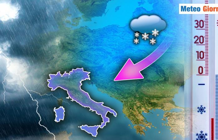
Mathematical models continue to highlight numerous predictive difficulties, difficulties probably attributable to the presence of a secondary low-pressure circulation over the central-eastern Mediterranean.
Circulation which will become structured soon, as soon as the powerful Arctic irruption significantly deteriorates meteorological and climatic conditions. Deterioration will arrive over the weekendfirst with an increase in instability from the North and the upper Tyrrhenian, followed by Sardinia.
Monday, December 23, the Arctic irruption will violently hit the central-eastern Mediterranean, triggering, as mentioned, the development of a vast secondary depression between the Ionian and the Aegean Sea. The passage of cold weather will clearly cause locally intense precipitationconsidering that cold arctic air transfers to the ground in the presence of more significant precipitation, it will be necessary to consider snow surprises in various regions of Italy. Snow which will fall at low altitude and which could locally extend to the hilly area. December 24 and 25 will be cold daysdue to sustained eastern ventilation which will keep temperatures at fully winter values.
There will be further phenomena between the central-southern Adriatic regions and the South, including Sicily, with snowfall possible at low or very low altitudes. In the rest of Italy, improvement is expected thanks to the expansion of high pressure towards the north-northeast.
To the north and more generally on the Tyrrhenian slope, the sun will shine again, but the presence of an eastern circulation will not allow a clear rise in temperatures. This situation could persist until the end of the year, although with a gradual relaxation of the Arctic grip. Thermal projections tell us that the thermal rise will be contained: the maximums will inevitably increase due to the abundant sunshine, while the minimums will remain fully winter and there will be frequent occasions of frost. Regarding the start of January, there is currently no common evolutionary line, however we can tell you that the high pressure will have a lot of difficulty in imposing itself.
Some mathematical models tell us that the central Mediterranean could nevertheless experience some instability due to the insertion of humid Atlantic currents mixing with the pre-existing cold. For the moment, we prefer to stop hereas soon as we have other predictive elements, we will think together about what which for some is an obvious hypothesis, namely the consolidation of high pressure and part of the winter to be forgotten.
Our Meteo Giornale articles are on Google News, follow us for free!


Follow our feed!


