Updated January 24, 2025 at 7:30 p.m.
The Great Lakes ice cover almost doubled in a few days. See the repercussions in Quebec.
A recent cold wave has rushed into North America. She caused a historic snowstorm on the coasts of the Gulf of Mexico, but also allowed the large lakes to recover their ice cover.
Express catch -up
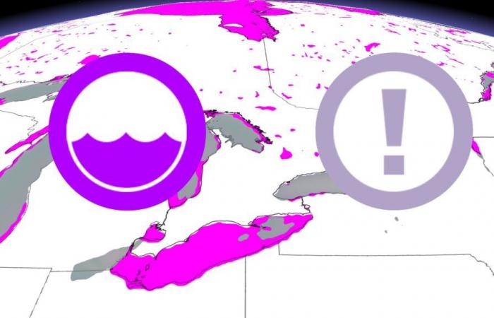
On January 23, around 23.2 % of the large lakes were covered with ice according to the NOAA. This figure is close to normal ice coverage for this period of the year, which is around 24 %.
Among the five large lakes, Lake Érié stands out particularly. On January 15, 28.1 % of its surface was covered with ice. Just over a week later, on January 23, the coverage climbed up to 80.1 %. And this figure could further increase in the coming days, since temperatures under the freezing point should persist for a while.
-The formation of ice on large lakes requires long periods of temperature under zero, such as those observed recently. The shallow lakes, like the Lake Erié and the Lake Huron, are the first to develop a large surface ice cream, while the deeper lakes keep their heat longer during the winter months.
This year, we have already exceeded the maximum of ice coverage recorded last year, which was only 12.3 %. This figure placed last year among the worst ice training since the start of recordings in 1973.
More cold, less precipitation
The big lakes shape the weather in the surrounding regions, including that of Quebec. In winter, the water temperature generally remains higher than that of air. This tends to alleviate the cold. When the lakes are free of ice, the water will therefore heat the air masses which fly over it.
Canada


