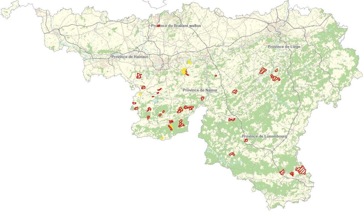
“It is the result of collaboration between numerous partners: SPW (Nature and Forests Department and Department of Study of the Natural and Agricultural Environment), hunting councils, Royal St Hubert Club, hunters, Cynégéweb…”, specifies the SPW.
On the side of the Royal Saint-Hubert Club of Belgium we also insist on the fact that this mapping will only concern big game hunting. The one for small game will not be listed on the Walloon geoportal.
Safety and good manners: hunters have their charter for more harmonious relations with other users of the forest
Since 2024, ChasseOnWeb allows you to load your GPX files and is available in 4 languages.
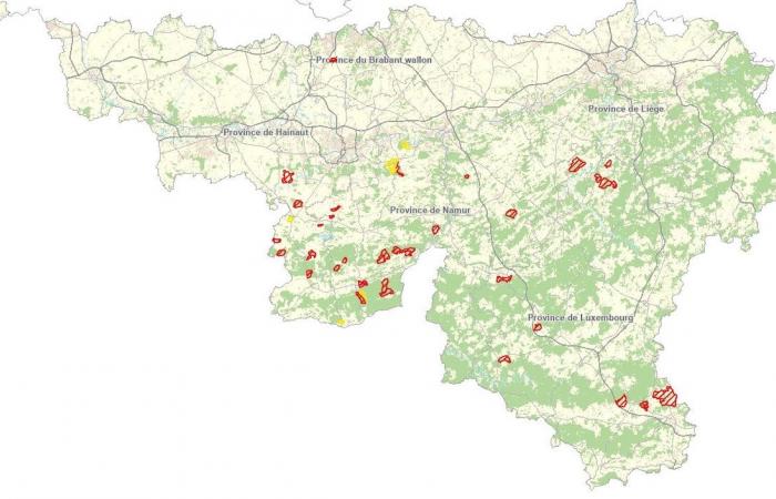
Forest areas prohibited this Saturday, January 18
Hunts are organized on 51 territories this Saturday. It’s the busiest day of the weekend. 49 roads will be closed.
To access the interactive map: ChasseOnWeb
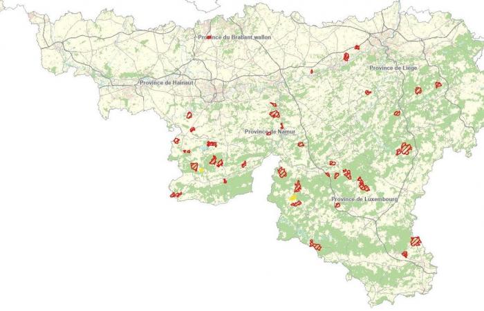
-Forest areas prohibited this Sunday, January 19
On Sunday, hunts will be organized in 46 territories which will lead to the closure of 41 roads.


To access the interactive map: ChasseOnWeb
Authorized closures (hatched in red on the map) apply
- for a fight : during the entire period between official sunrise and official sunset,
- for the lookout : all day or, in some cases, only in the morning and evening, i.e. from 1 hour before official sunrise until 2 hours after it, and from 2 hours before sunset until an hour after going to bed. In this case, circulation in woods and forests indicated as closed due to lookouts therefore remains perfectly possible outside of these hours.
Find out the weather in your town or destination
Want to find new walking routes in the forest? Discover the “Share the Forest” site for residents of the Grande Forêt d’Anlier massif, fall walkers, hunters, forest managers, and by extension all users of Wallonia’s forests. He inventories more than 2200 routes in Wallonia.


