Haute-Savoie, Savoie and Isère will receive significant snowfall this Sunday. But the episode will extend beyond the mountain ranges, with the authorities calling on motorists to be extremely vigilant, particularly on the A7.
The departments of Haute-Savoie, Savoie and Isère are placed on orange snow-ice and avalanche alert on Sunday by Météo France, threatened by a snowy episode “outstanding” expected until Monday inclusive in the Northern Alps.
In the mountains, nearly a meter of snow is expected in the space of 48 hours above 1,500 meters, and between 40 and 60 cm around 1,000 meters, the forecasting organization indicated in its bulletin from 4 p.m. Saturday. These accumulations are particularly likely to disrupt access to high altitude stations, specifies Météo France, and wind gusts ranging from 80 to 100 km/h on Sunday could cause accumulations of snow in places.
Mandatory equipment in places
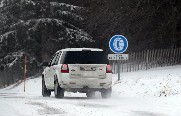
Motorists must demonstrate “great vigilance” on the roads, be equipped with winter tires and chains for access to certain mountain areas, while limiting to “maximum” travel, recalls the Haute-Savoie prefecture in a press release.
Those taking the A7 motorway from the south of France are called to “become well informed about the weather conditions before traveling to these regions”alerts Vinci Autoroutes.
A rare avalanche activity
The avalanche risk will be high from 6 p.m. on the massifs of Chablais, Aravis and Mont-Blanc (Haute-Savoie), Haute-Tarentaise, Beaufortain, Vanoise and Maurienne (Savoie), and Belledonne, Grandes Rousses and Oisans (Isère). Of “large avalanches” will be triggered as snow falls during the night from Sunday to Monday, then Monday during the day, warns Météo France. “will be able to reach exposed mountain roads as well as high-altitude infrastructure”.
“The expected avalanche activity occurs on average every 3 to 8 years depending on the massifs concerned“, underlines the organization. Monday, the snowy episode will be accompanied by a “strong wind”et “the fresh snow will also be deposited on a snow cover that has not yet stabilized following previous snowfalls, which could encourage the start of large avalanches.”he adds.
In Occitania, wind, rain… and snow
In Occitania, this Sunday, it is especially the wind that you will have to be wary of. Gusts of 60 to 80 km/h inland, 80 to 90 km/h on the terrain and around the Mediterranean, are expected. In the afternoon, showers will also arrive in Languedoc and, in the Pyrenees, they will give good accumulations, while the rain-snow limit will lower around 1200 m in the Pyrenees and part of the Massif Central and the Cévennes . Good news for ski lovers, as the good weather should then set in for Christmas.
Local
France


