Due to the strong winds blowing this Tuesday in Provence, the forest weather map has placed Bouches-du-Rhône on orange alert. This means that the danger of fires breaking out in this department is high. It can be low, moderate, high or very high (red).
It is the only French department to be located at this level. For Wednesday, the Bouches-du-Rhône will remain in orange. The Var, the Vaucluse, the Alpes-de-Haute-Provence or even the Hérault or the Drôme are colored in yellow on this map. The alert level is therefore moderate in these sectors.
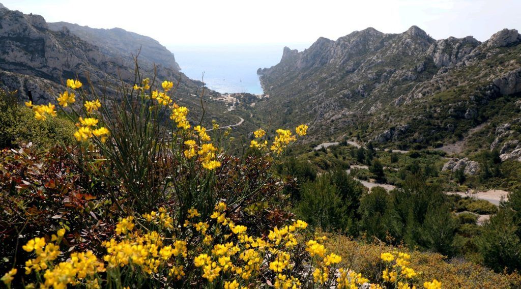
As for access to the forest areas, it is permitted to the public. On the other hand, in the afternoon in the forest areas of the 13th, it is forbidden from 1 p.m. to use construction machinery which risks, by causing sparks for example, causing fires.
What is the Météo-France Integrated Danger Index?
As part of its mission to support the fight against fires, Météo-France uses the Index daily Forest Weather (IFM) to calculate an integrated danger index, adapted to the specificities of metropolitan France and transmits this information to Civil Security. The Forest Weather Index (FWI) allows to estimate the meteorological danger of forest fires. It characterizes the fire danger in terms of probability of outbreak, speed of propagation and intensity of the fire.
This index is calculated at the most unfavorable time of day from meteorological data: temperature, air humidity, wind speed and precipitation.
In metropolitan France, for take into account the characteristics of forests in different regionsthis index is supplemented by an analysis of the dryness status of the vegetation. The whole is referred to as the Integrated Danger Index, calculated daily by Météo-France. The forecasters then analyze all of this data, integrating the dryness status records of the vegetation provided by the National Forestry Office (ONF) and forest managers. These results, provided on a very fine geographical scale, make it possible to assess the meteorological danger of fires for each territory, taking into account its potential for outbreak and spread.


 Tuesday and Wednesday)