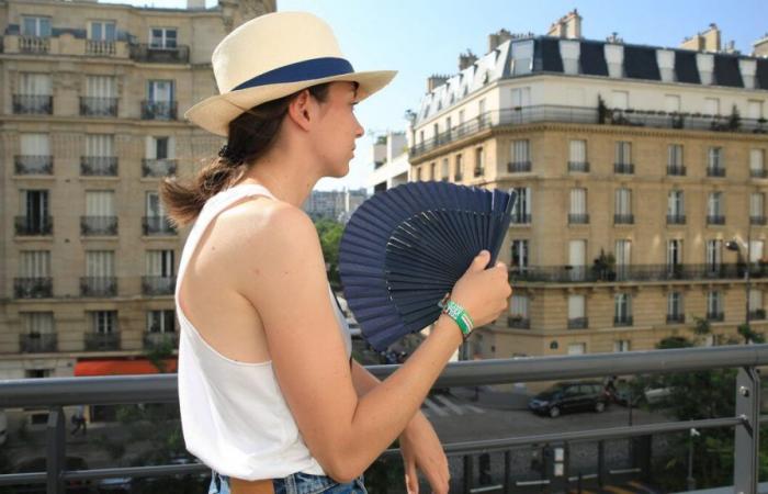
The temperature began to rise significantly in Paris during the weekend, notably reaching the 25°C mark for the first time this month. Continuing this momentum, the thermometer will continue to rise during the week.
It could be over 30°C at the hottest time of the day between Tuesday and Thursday. The nights will also experience significant heat in the coming days. The combination of these events will mean that Paris will find itself de facto in a heatwave situation or very close to it.
Between 7°C and 9°C above seasonal averages
Météo France defines the concept of heatwave based on two criteria: duration and intensity. ” The term heat wave designates an episode of high temperatures, day or night, over a prolonged period of at least 3 days,” explains the meteorological organization. The thresholds vary depending on the departments, in particular in relation to the population’s habituation to heat. In the case of the capital, the thresholds are set at a temperature which reaches at least 31°C during the day and which does not drop below 21°C at night. This is what is taking shape between Tuesday and the night of Thursday to Friday in Paris.
A first so-called tropical night, that is to say with a minimum above 20°C, should take place between this Monday and Tuesday. Météo France expects a minimum temperature of between 20°C and 21°C. Tuesday would then see a maximum temperature of around thirty degrees. The meteorological organization predicts a peak between 30°C and 32°C, meaning at least a crossing of the high heat threshold, set at 30°C. The heatwave mark of 31°C will therefore be touched, or even exceeded. In all cases, such values will place the thermometer between 7°C and 9°C above the seasonal averages.
25°C in sight overnight from Wednesday to Thursday
The following night, between Tuesday and Wednesday, should once again be tropical. Météo France is banking on a low point located between 21°C and 24°C, i.e. above, or even significantly above, the single heatwave of 21°C. During the day on Wednesday, it should once again be between 30°C and 32°C. The night from Wednesday to Thursday promises to be particularly trying. The temperature would struggle to drop below 25°C. At the very end of the night, it could perhaps drop to around 22°C-23°C. A third tropical night in a row, possibly with a temperature at least equal to 21°C should therefore have occurred.
During the day on Thursday, the temperature is expected to reach 30°C for a third time. Météo France does not rule out once again that 31°C will be reached, which would mean a third day in a row with at least this level of high heat. The three days and three nights with at least 31°C and a minimum not falling below 21°C would then be reached. Officially it would then be a heatwave. Qualifying should be decided within a few tenths of a degree.
Paris should be the only city in France exposed to this situation. Temperatures will be high in many cities across the country during the day with levels similar to those in the capital. But temperatures will drop significantly more elsewhere than in Île-de-France. The example of the night from Wednesday to Thursday is particularly telling. The one which promises to be the hottest of the week with this difficulty in going below 25°C inside the Paris ring road will be more bearable everywhere else. In most cases it will be 5°C cooler. Bordeaux should certainly also experience a difficult night, but the city should remain below the heatwave thresholds. During the day, it is set at 35°C in the Gironde town and this level could only be reached once during the period, on Thursday.
A city like Paris suffers from the phenomenon of the urban heat island. This effect corresponds to the very slow cooling of dense urban areas, in particular because of the materials used there, such as bitumen, as well as because of the density and height of buildings.
In the capital, the thermometer should drop below 20°C during the night from Thursday to Friday. In the following days, due to a new disturbance, maximum temperatures are expected to be between 20°C and 25°C, lower than some nights of the week. They would then find seasonal values.


