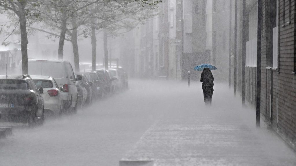
It’s time to bring out the umbrellas. The weather on Tuesday will be stormy again in the north of the country and New Aquitaine, according to Météo-France forecasts.
Heavy rain Tuesday afternoon
In the morning, the stormy rains overnight over the northwest and center will quickly shift northward and evacuate into Belgium at midday.
In the afternoon, the weather will get worse and thunderstorms will break out over New Aquitaine, then spread to the center at the end of the day, and in the evening to the Paris basin then the north-east. These storms will often be strong with a risk of hail and heavy rain.
According to the Météo-France vigilance bulletin, three stormy bursts should be monitored, including one “ at midday in the north of the country “. The Nord and Pas-de-Calais, like Picardy, could suffer “ thunderstorms with heavy rain intensities (20/30mm/h), hail and wind gusts around 80 km/h », Indicates Météo-France, which points to the possibility of observing “ whirlwind phenomena “.
Yellow thunderstorm warning
The Nord and Pas-de-Calais, like the majority of departments in mainland France, are placed on yellow thunderstorm alert.
The forecasts are confirmed by Ventusky, whose simulations show cumulative rainfall of up to 25mm in three hours, late in the afternoon, particularly in Lens and Douai.
The sun should return on Wednesday, with clearing expected in the Nord and Pas-de-Calais.


