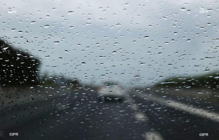
In a bulletin published by Météo France, Guyana should experience a small rainy episode next week. From this Sunday, showers will be localized on the coast: the south of Guyana is on the fringes of heavy rain. However, it is too early to have a precise idea of the expected rainfall totals.
From this Sunday, November 10, the Inter Tropical Convergence Zone will be positioned for a few days in the immediate vicinity of the Guyanese coastline. We are therefore expecting the temporary return of wetter weather from Sunday until next Thursday inclusive. Until then, the weather will remain fine, with the heat remaining noticeable in the afternoons in the interior towns.
The first coastal showers will therefore begin on Sunday 10 and will give way in the afternoon to a few showers from the eastern road to Petit-Saut and up to Saint-Laurent. The rainy totals expected on Sunday are still relatively modest, the sun still manages to show itself in the afternoon on the coastal edge.
The showers are expected to materialize for Monday, November 11, still on the coast: the south of the territory will therefore not be affected. The heaviest showers are forecast for Tuesday, November 12. Gradually, from Wednesday 13th, the showers will become rarer and the weather should become dry again. “These forecasts for a distant deadline will perhaps be re-evaluated in the coming days,” specifies Météo France.
•
©European Forecast Center
Showers are expected to materialize on Monday, November 11, still on the coast. : the south of the territory will therefore not be affected. The heaviest showers are forecast for Tuesday, November 12. Gradually, from Wednesday 13th, the showers will become rarer and the weather should become dry again. “ These forecasts for a distant deadline will perhaps be re-evaluated in the coming days », specifies Météo France.
France


