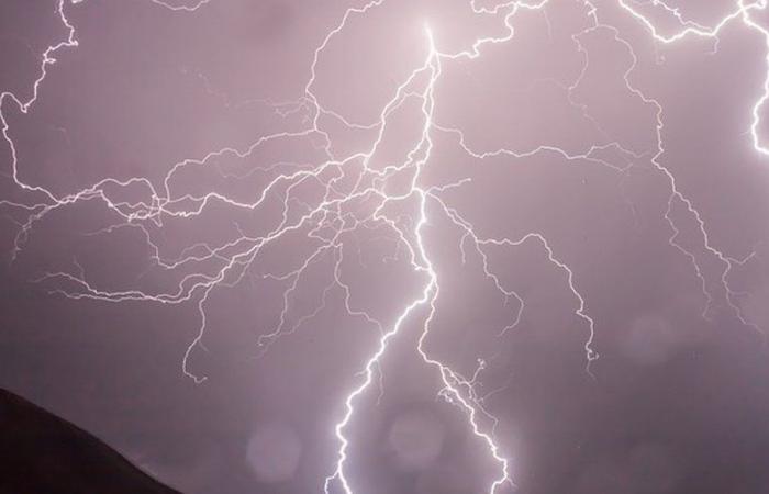
Ten departments will be affected by storms this Saturday, Hérault and Aude are already on orange alert.
Hérault and Aude switch to orange “rain-flood” vigilance and thunderstorms from 6 p.m. Friday November 8, 2024, and Météo France extends yellow vigilance to eight departments all day Saturday: Landes, Pyrénées-Atlantiques, Pyrénées-Orientales, Gard, Bouches-du-Rhône, Var, Haute-Corse and Corse-du-Sud.
The orange alert should last at least until Saturday morning, with the peak of bad weather expected tonight. This episode could bring “heavy rain with hourly intensities reaching 50 to 60 mm/h. The cumulative rain for this stormy episode can reach 80 to 120 mm locally 150/180 mm”, anticipates Météo France.
“Significant” accumulations are also to be feared in the north of Corsica, an evolution of orange vigilance cannot be excluded during the day of Saturday.
Weather France
Not before Sunday to see the sun?
The sun could return to the Mediterranean from Sunday November 10, temperatures will even rise with around 20°C in Marseille (Bouches-du-Rhône) and 22°C in Montpellier (Hérault)… except in Corsica where the thunderstorms are expected to persist.
“Elsewhere, this Sunday still promises to be very cloudy, even if timid clearings are possible, with a few showers especially in the South-West departments linked to the arrival of a new disturbance coming from the Atlantic” .
No better at the end of the three-day weekend, Monday November 11: “If the sun persists in the Mediterranean (where mistral and tramontane strengthen up to 70 km/h), the rest of the country is still experiencing heavy skies with some showers possible in the Grand Est Over the hours, clearings will develop north of the Seine and near the Atlantic coast.
France


