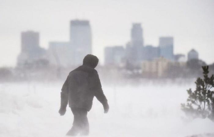
Winter is knocking at the door in the United States. The country is facing a massive descent of polar air from Canada this week, which will cause a sharp drop in temperatures and significant snowfall.
The arrival of an icy air mass has been taking shape since the end of the weekend. But it is intensifying and affecting a larger part of the territory from this Tuesday. These maps produced by The weather channel show the areas which will experience temperatures below 0°C between Thursday and Saturday.
The National Weather Service (NWS), the American equivalent of Météo France, warns that “heavy snowfall is possible” from this Tuesday in the southern part of the Sierra Nevada massif, in California, in the west of the country. . The accumulations will range from 30 cm to almost a meter. The situation will be the same further east in the country, in the Rockies.
Later in the week, the Great Lakes region, bordering Canada, will also be affected by snowfall. The contact of cold air with the significantly higher temperatures of these vast bodies of water is very conducive to the formation of snow precipitation.
This situation is relatively classic at this time of year. But the American weather forecast underlines one point: this Tuesday and Wednesday, “in a large part of the northern plains of the country, the temperature could be between 5°C and 10°C lower than seasonal norms”.
The weather channel explains that it could be as cold as -15°C near the border with Canada. She adds that with such a combination of factors, disruptions are to be expected in air and road transport.


