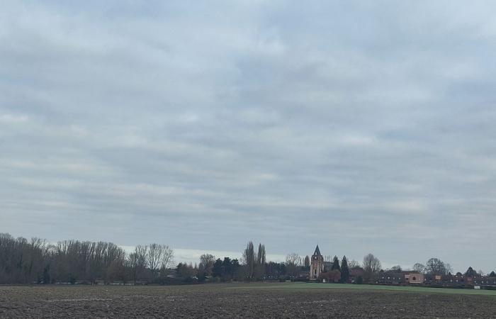
No big changes to start the 51st week of the year. It is often a very cloudy overcast sky that will accompany us. However, with the change in flow, minimum and maximum temperatures show a clear increase, that’s already it.
The essentials of the day: our exclusive selection
Every day, our editorial team reserves the best regional news for you. A selection just for you, to stay in touch with your regions.
France Télévisions uses your email address to send you the newsletter “Today’s essentials: our exclusive selection”. You can unsubscribe at any time via the link at the bottom of this newsletter. Our privacy policy
This morning, if you want to see a little (or a lot) of sunshine, you should live on the seafront. That said, unfortunately it will not stay all day and is seen, like everywhere else, quickly masked by numerous fields of low clouds, which can still deliver a little drizzle.
The westerly wind is noticeable in the coastal area but also in the interior of the Nord and Pas-de-Calais departments, with peaks of around 40 to 60 km/h.
Some momentary appearances of the sun
•
© France Télévisions
The afternoon sky remains overcast, the very light and localized rains in the morning will become more frequent in the north of the region. As for the wind, still present, it should still lose a little intensity.
Under the clouds small drizzles fall
•
© France Télévisions
So here we are above seasonal values on December 16 ! Minimum temperatures this morning are 5 to 11° from south to north.
The big leap forward in minimums this morning
•
© France Télévisions
The maximums are not to be outdone since they rise by one to two degrees compared to yesterday, with a range of 10 to 13°C.
At least it’s almost mild
•
© France Télévisions
Mardi : High pressures will start to drop during the day. In the morning, watch out for morning gray (more often mists than fogs). The thick cloud layer still present should this time allow the sun to appear. The clearings will begin to develop timidly in the south of the region and will give a brighter atmosphere for everyone in the afternoon, except near the Belgian border where clearings could appear after dark. The light wind will be oriented due south. Average temperatures : 8 for mini, 10 for maxi.
Wednesday : In the mild weather, and despite still high pressures (above 1015 hPa), the disturbance associated with a depression which will circulate to the north of Scotland will influence the weather of the day. The sky will be very cloudy, often rainy, all accompanied by wind gusts of 40 to 50 km/h, 60 to 70 km/h in the coastal sector. Over 24 hours, Météo France announces 3 to 7 mm of precipitation, locally 10 in Pas-de-Calais.
THURSDAY : A second disturbance will cross the region. We therefore find so-called “classic” weather, rain and wind (especially in the heat).
Apart from perhaps Friday… to be continued because the confidence indices are not high
•
© France Télévisions
Friday : Trolling sky. It should be very pleasant and sunny over most of our territory, with showers only expected to affect the Channel coast. Temperatures will show a slight drop.
SATURDAY : Disturbance act 3 ! A third degradation will once again bring us heavy skies, rain and wind.
Sunday : The deadline is distant, and the confidence index low (2 out of 5), but if this is confirmed, we will have the passage of the fourth disturbance of the week.
The air quality will continue throughout the region today, so the index will remain average. Do you know how ATMO Hauts-de-France calculates the indices ? Here is the answer : The air quality index is calculated with the concentrations of 5 main pollutants: sulfur dioxide, ozone, nitrogen dioxide, PM10 particles and PM 2.5 particles.
Air quality remains green
•
© France Télévisions
Kickoff of the 51th week of the year. Do you know what the actress Catherine Jacob and the singer-songwriter Liane Foly have in common? They were both born on December 16, happy birthday to all the natives of the day. Have a good start to the week, have a good Monday and tomorrow don’t forget to celebrate the Gaëlle and the Gaël.
351st day of the year (15 remaining)
•
© France Télévisions


