The need
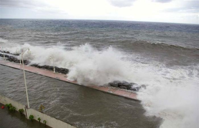
The BRGM was requested by the DEAL of Guadeloupe in order to characterize the marine submersion hazard in the sectors of the seven communes of the PAPI des grands-fonds and the Territory at Significant Flood Risk (TRI) Center, which brings together the communes of Moule, Sainte-Anne, Gosier, Pointe-à-Pitre, Baie-Mahault, Les Abymes and Morne-A-L’Eau. Carried out as part of the revision of Guadeloupe's Risk Prevention Plans (PPR), this mapping takes into account the impact of climate change by 2100.
The results
The methodology adopted for this study complies with the guidelines of the 2014 methodological guide of the Ministry of the Environment. The cyclone database, developed by the BRGM as part of the CaribCoast project, was used to select the events reference. Then, the modeling of wave propagation and water levels was carried out using the UHAINA digital model, developed by a consortium including BRGM. The application of an adapted methodology and recent and efficient tools made it possible to establish marine submersion hazard maps for the current periods and by 2100, taking into account the impact of the rise in sea level. of the sea.


