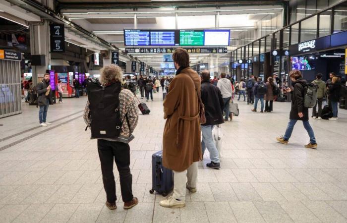
21 departments are concerned. As a result of storm Floriane, the SNCF is announcing traffic restrictions, speed slowdowns and preventive service cancellations in the 21 departments concerned for this Monday: for example, no direct Paris-Limoges-Toulouse train will run before 4:00 p.m.
“There will be no direct Paris-Limoges-Toulouse trains before 4 p.m., four direct Nantes-Bordeaux trains will be canceled, there will also be no TGV from Tours and Saint-Pierre-des-Corps until 4 p.m. and no TGV service until 2 p.m. from Poitiers and Châtellerault stations,” details a press release from SNCF Réseau.
The preventive “traffic stops” will also concern the Limoges-Angoulème lines until 1:00 p.m., Limoges-Vierzon until 5:00 p.m., Poitiers-La Rochelle, Etampes-Orléans, and Tours-Poitiers, at least part of the day, as well as as Nancy-Bar-le-Duc from 11 a.m. to 4 p.m.
In Ile-de-France, departing from Paris-Est, trains to Coulommiers, Provins, Esly, Crécy la Chapelle will also be canceled between 11:00 a.m. and 4:30 p.m.
In Hauts-de-France, the SNCF will shut down certain portions of lines for a few hours at midday on Monday. The Paris-Laon lines (between Crépy and Laon), Tergnier-Laon, Creil-Beauvais and Boulogne-Dunkerque (from 11 a.m. to 1 p.m.) are affected.
“Reconnaissance runs by empty trains with SNCF Réseau agents on board equipped with chainsaws will be carried out at the end of this meteorological episode in order to allow the resumption of traffic in complete safety,” specifies the SNCF.
-Météo France has placed these 21 departments on orange alert: Vendée, Maine-et-Loire, Sarthe, Indre-et-Loire, Loir-et-Cher, Eure, Loiret, the eight departments of Île-de-France, Aisne , Marne, Ardennes, Meuse, Rhône, Loire. “Over the northern half of the country, storm Floriane will circulate quickly but intensely during the day on Monday,” warns the organization.
“Two peaks of violent wind are probable: the first in the middle of the night from Sunday to Monday, the second at the end of the morning-midday on Monday,” warns Météo-France.
In the North-West, storm Floriane will enter early Monday morning off the coast of Vendée, again with gusts of 90 to 100 km/h, locally at 110 km/h. “It shifts towards the Paris region at midday then the north-eastern regions at the start of the afternoon, before quickly evacuating towards Belgium”, forecasts Météo-France.
“In the northern half, there remains uncertainty about the trajectory of the storm” and “the wind could blow equally strongly” in the departments bordering the departments in orange vigilance, underlines Météo-France, calling for caution.


