Many departments have been placed on snow-ice yellow vigilance.
Météo France gives the alert. Many departments have been placed on snow-ice yellow vigilance this Saturday, January 4, 2025: from Calvados to Lozère as well as the entire eastern half of the country. “At the end of the day on Saturday, a disturbance rises from the southwest towards the north and the northeast and is associated with a strong mild spell. There are strong uncertainties about the nature of the precipitation before this mild spell: light snowfall, episode temporary freezing rain or on frozen ground or only rain in liquid form If an episode of freezing rain were confirmed, a worsening of the level of vigilance would be possible, particularly in Île-de-France. and the departments north of the Seine”indicates Météo France in its 4 p.m. bulletin.
Accumulations
For his part, Guillaume Séchet believes that the North should be affected by freezing rain and that “The risk of holding will be clearer by going towards the borders of the North and the North-East”.
u2744ufe0fThe arrival of a front on the air #cold should generate phenomena of #freezingrain (red) and falls of #snow temporary (blue) tomorrow at the end of the day and night in the North. The risk of holding will be greater by going towards the borders of the North and… pic.twitter.com/PuKjxQJh52
— Guillaume Séchet (@Meteovilles) https://twitter.com/Meteovilles/status/1875122013309702653?ref_src=twsrc%5Etfw
u2614ufe0fIn addition to the risk of snow, the unsettled weather will bring frequent #rains in the coming days on the #France with a risk of significant accumulations to monitor between now and the end of next week.
Animation : GFS via WX CHARTS pic.twitter.com/LOf7kp5A95— Guillaume Séchet (@Meteovilles) https://twitter.com/Meteovilles/status/1875207121412985195?ref_src=twsrc%5Etfw
This is confirmed by La Chaîne Météo, particularly north of the Seine.
An episode of #freezingrain is expected over a short northeast quarter tomorrow at the end of the afternoon, with a little #snow along the Benelux borders. This situation, although not very worrying, will still require you to be careful when driving u203cufe0fud83dude97 pic.twitter.com/KksmUHkaXc
— La Chaîne Météo (@lachainemeteo) https://twitter.com/lachainemeteo/status/1875142156350013806?ref_src=twsrc%5Etfw
“In addition to the risk of snow, the unsettled weather will bring frequent #rain in the coming days to #France with a risk of significant accumulations to watch out for by the end of next week”continues Guillaume Séchet on his X account.
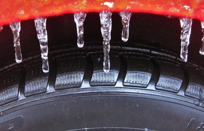
Freezing rain has the characteristic of remaining liquid but turns into ice on contact with a solid, for example by falling on asphalt. This is when black ice forms. And you have to be very, very careful in the car!
In Perpignan (Pyrénées-Orientales), the weather will be overcast on Saturday morning before clearing up in the afternoon. Temperatures will range between 10 and 14 degrees.
Carcassonne will have to deal with very cloudy weather and a low of 10 degrees. In Narbonne, the sun should come out in the afternoon and raise the mercury to around 13 degrees.
France


