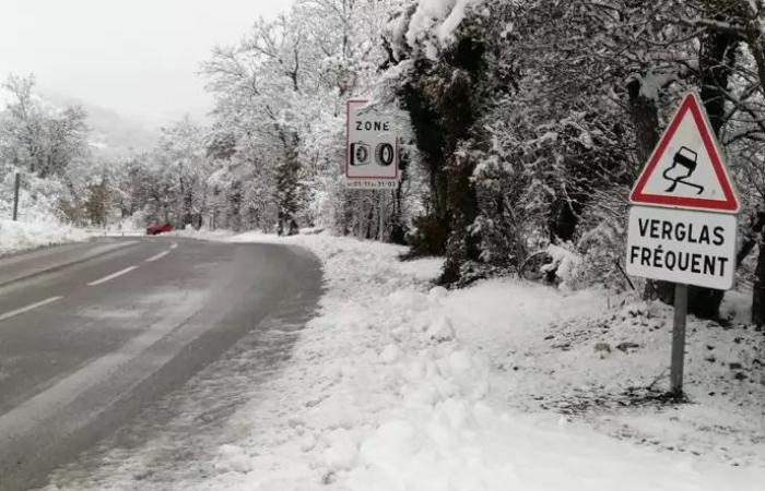
In the mountains, nearly a meter of snow is expected in the space of 48 hours above 1,500 meters, and between 40 and 60 cm around 1,000 meters, the forecasting organization indicated in its 4 p.m. bulletin on Saturday .
These accumulations are particularly likely to disrupt access to high altitude stations, specifies Météo France, and wind gusts ranging from 80 to 100 km/h on Sunday could cause accumulations of snow in places.
Motorists must demonstrate “great vigilance“on the roads, be equipped with winter tires and chains for access to certain mountain areas, while limiting travel to a “maximum”, recalls the Haute-Savoie prefecture in a press release.
Those taking the A7 motorway from the south of France are called to “find out about the weather conditions before traveling to these regions“, warns Vinci Autoroutes.
The avalanche risk will be high from 6:00 p.m. on the massifs of Chablais, Aravis and Mont-Blanc (Haute-Savoie), Haute-Tarentaise, Beaufortain, Vanoise and Maurienne (Savoie), and Belledonne, Grandes Rousses and Oisans (Isère).
Of “large avalanches“will trigger as snow falls during the night from Sunday to Monday, then Monday during the day, warns Météo France.will be able to reach exposed mountain roads as well as high altitude infrastructures“.
“The expected avalanche activity occurs on average every 3 to 8 years depending on the massifs concerned.“, underlines the organization.
Monday, the snowy episode will be accompanied by a “strong wind“, et “the fresh snow will also be deposited on a snow cover that has not yet stabilized following previous snowfalls, which could encourage the start of large avalanches“, he adds.


