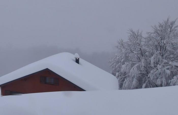
As expected, the weather conditions deteriorated significantly this Thursday in the region with wind, rain and snow in the mountains. The rain-snow limit around 1500m this afternoon is down to 1000m this Thursday evening. A gust of 122km/h was recorded at Cap Béar (66) and 80km/h was recorded between Tarbes and Saint-Girons.
Fridayreturn to calm after the passage of the disturbance which will have brought 10 to 15cm at 1500m and 20cm at 2000m, particularly on the border massifs. Clearings return in the morning but very temporarily. Indeed, clouds returned from the west in the afternoon with a 0°C isotherm around 1400m.
SATURDAYthe atmosphere should be humid with rather light showers in the plains and on the massifs to the north of the range. The rain-snow limit will be around 1600-1700m. Moderate west wind at 50km/h, 60-70km/h in the tramontane area.
Sundayin the morning the 0°C isotherm is located at 2300m with a cloudy sky except between Andorra and the Pyrénées-Orientales (clearing). Precipitation returns from the west in the morning and will extend eastward in the afternoon with a gradual drop in temperatures. This will be the start of a new Pyrenean episode which should occur until Monday evening/Tuesday morning.
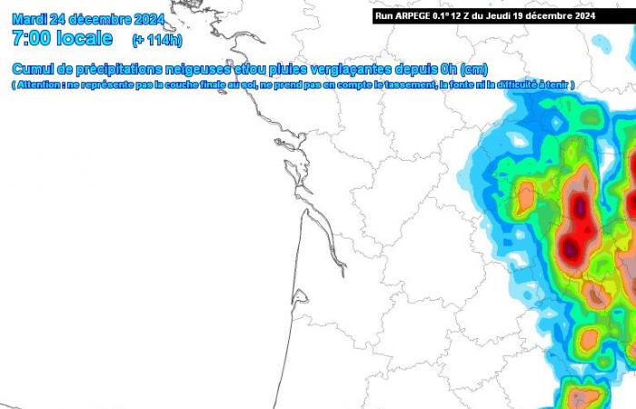
This episode promises to be potentially important with a blockage on the massif in a very humid north to northwest flow. Similar to the episode at the beginning of December, but this one would be shorter (24 to 36 hours) and therefore more intense! For now, the rain-snow limit is expected to be around 1300m on Sunday evening and 700-800m on Monday, a little higher in the Pyrénées-Atlantiques (1000-1200m). Snow accumulations until Tuesday morning could approach one meter from 1500m, according to the first estimates from the Météo France model, Arpège:
Accumulations which promise to be homogeneous across the entire massif, except on the Spanish slopes and the east of the Pyrénées-Orientales. With the sustained northerly wind at altitude, the high snow intensities and a very marked risk of avalanches, it is a safe bet that the conditions will be very delicate. We are also at a very busy time of year in our mountains. Be careful of the risk of chaos on the roads for Monday!
The occurrence of this episode leaves little doubt, but the precipitation totals and the exact rain-snow limit still require confirmation. On the other hand, one thing is certain, anticyclonic conditions will return between Christmas and the end of the year, with dry, slightly mild and cold weather during the night and morning (frost). Probably optimal conditions for enjoying the snow on the massif!
Do you appreciate the work of Météo Pyrénées? You can support us by joining the association or making a donation: https://www.helloasso.com/associations/association-meteo-pyrenees/formulaires/3


