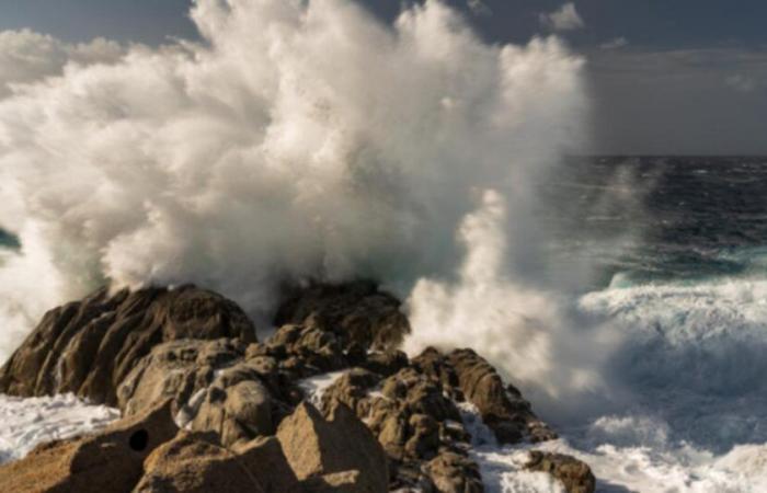
After the passage of a cold front over France this Thursday, the wind will strengthen significantly around the Mediterranean. An episode of stormy wind is therefore expected between Thursday evening and Friday evening.
A very windy Thursday evening: gusts over 100 km/h
From the end of this Thursday afternoon, the tramontane will strengthen in Roussillon with possible gusts around 100 km/h on the coast and nearly 110 to 120 km/h on the Canigou terrain. The mistral will strengthen at the same time, in the Rhône valley, linked to the deepening of a depression in the Gulf of Genoa. Gusts of more than 100 km/h will be possible in the lower Rhône valley.
Storm in the Mediterranean © The Weather Channel
Vacation departures thwarted by the storm on Friday
Friday, the day we go on vacation, the wind will still blow like a storm across the entire Mediterranean arc. Gusts of more than 110 km/h are expected in the south of the Rhône valley, as well as peaks of up to 120-130 km/h near the coast of Bouches du Rhône and Var. During the afternoon and evening, the strongest gusts are expected in Corsica with peaks of 150 km/h possible on Cap Corse and 130 to 140 km/h on Montagne Corse. Some gusts could also hit the East Coast with peaks of up to 130 km/h possible.
The wind will calm down significantly during the night from Friday to Saturday. On Saturday it will only blow between 60 and 70 km/h but on Sunday further strong gusts are expected, locally up to 100 km/h.
France


