While a certain “softness” settled over France on Sunday afternoon, temperatures are now starting to drop again. Is it the return of winter, cold and snow? How will temperatures evolve over the next few days? Find our latest forecasts in this article.
While a certain “gentleness” has concerned France in recent hours, temperatures start to drop again this Monday. This drop will continue and increase over the next few hours. But is it the return of cold, winter and snow?
What if a great sweetness returned in the second part of the week? What if, on the contrary, the cold descends on France again for next weekend ? What seems certain is that temperatures will experience strong fluctuations over the coming days.
How will the temperatures evolve? Will the cold prevail or will the mildness prevail? Find our latest forecasts in this article.
A fleeting sweetness
Temperatures were therefore rather mild yesterday for the first day of December over a large part of the country. If the north-east of France experienced cold and winter temperatures, great mildness marked the regions of the north-west and south of France.
Among the coldest values, we can retain a maximum of 3°C in Metz and 3.7°C in Strasbourg at the best time of the day. Meanwhile, it was 14.8°C in Brest yesterday afternoon, 15°C in Le Mans and 15.7°C in Nantes.
In the south, peaks above 20°C were recorded at the foot of the Pyrenees, with 21.7°C in Tarbes and 22.3°C in Biarritz.
Values are falling again
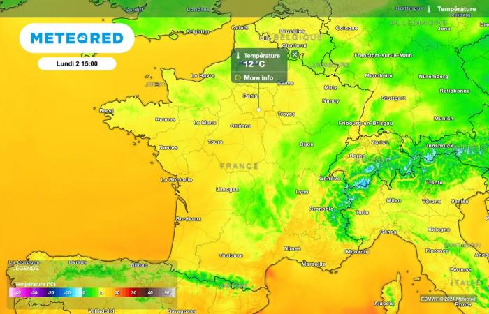
Temperatures will drop a few degrees this afternoon, particularly in the eastern regions of France. Despite this first decline, the maximums will remain locally 2 to 4 degrees above seasonal norms for the start of December.
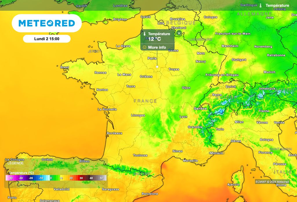
In detail, the temperatures forecast this afternoon are 8°C in Dijon, 9°C in Nancy and Strasbourg, 10°C in Rouen and Cherbourg, 11°C in Reims and Caen, 12°C in Paris, 13°C in Clermont-Ferrand and Agen, 14°C in Toulouse, 15°C in Tarbes, Biarritz and Montpellier, 16°C in Bordeaux, 17°C in Bastia, 18°C in Ajaccio and 20°C in Perpignan.
The decline will continue
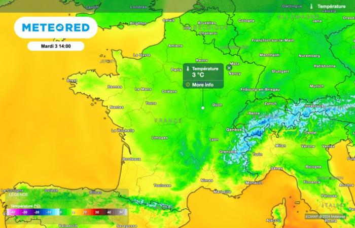
The drop in temperatures will continue and become more pronounced tomorrow, with maximums which will no longer exceed 10°C in the afternoon in the north of France.
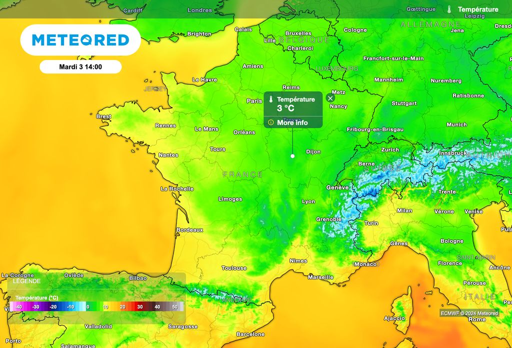
After the cooling on Tuesday, temperatures are not expected to drop further on Wednesday, with values which will ultimately be close to seasonal norms.
Cooling down between Thursday and Friday then plummeting temperatures!
After this little winter break, temperatures should start to rise again between Thursday and Friday, with values returning above seasonal norms.
This somewhat gentler parenthesis, however, seems to be very short-lived, since, according to the latest forecasts, a new descent of cold air is expected to sweep over France over the next weekend.
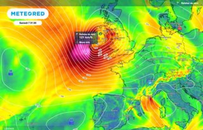
Behind an active front which should sweep France from north to south between Saturday and Sunday, temperatures should drop sharply in a tilting flow in the northern sector. The snow could then return to the mountains at very low altitude, and it will also be necessary to monitor the risk of significant snowfall in the Pyrenees. This trend, which is still distant, will however be confirmed in our next articles.

