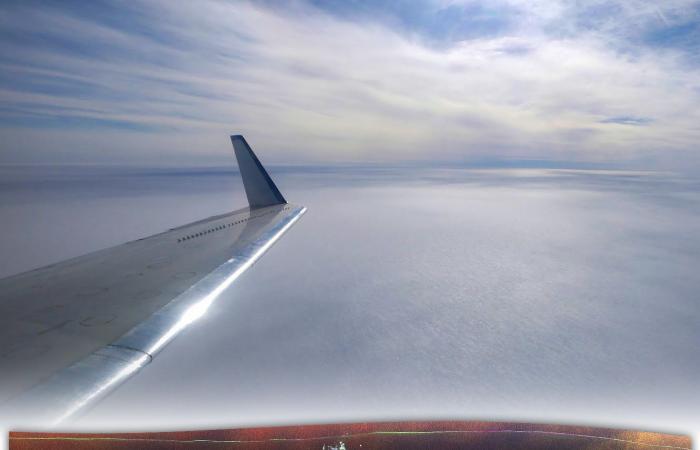
NASA scientists made a spectacular discovery during a research flight over Greenland.
An abandoned military base from the Cold War era was hidden under the thick layer of ice. The find not only provides insights into the past, but also poses current environmental threats.
The radar system of a NASA research aircraft recently provided impressive images: clearly visible structures appeared beneath several meters of ice. “At first we didn’t know what it was,” explained cryospheric scientist Chad Greene. After detailed analysis, it became clear that it was “Camp Century”, a former US military base built during the Cold War.
Here you can see the military base under the layers of ice.
©NASA
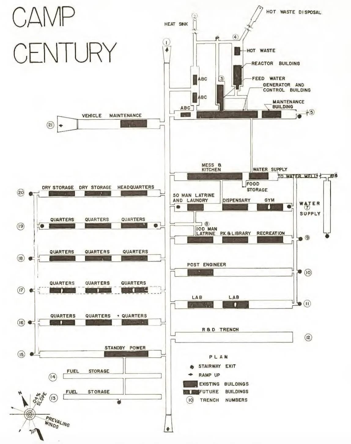
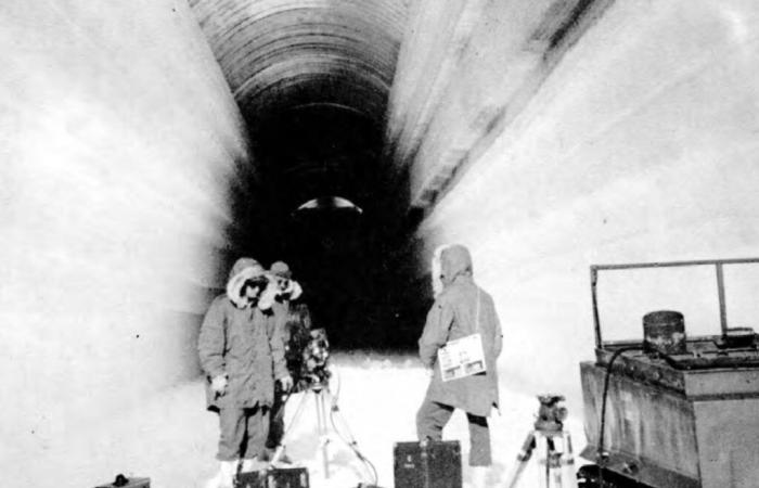
“Camp Century” was part of the so-called “Project Iceworm”, in which the USA wanted to build an extensive tunnel system in the Greenland ice sheet. The aim was to create a strategic base for medium-range nuclear missiles. Over 4,000 kilometers of tunnels and storage rooms were planned so that rockets could be stored and launched unnoticed. As several reports show, construction of the base began in 1959 but was abandoned in 1967. The unstable conditions in the ice and the high costs made the project unfeasible.
After the facility was abandoned, snow and ice accumulated over the years. Today “Camp Century” lies at least 30 meters below the surface. Thanks to a new type of UAVSAR radar system, the remains of the base have now been made visible. “The new data shows the structures of the secret city in a level of detail we have never seen before,” emphasized Greene.

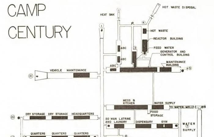
One of the plans of “Camp Century”.
©U.S. Army Corps of Engineers
In addition to the historical significance of the discovery, there are also worrying environmental aspects. When the base was abandoned, waste, fuel and weapons remnants were simply left behind. As the Greenland ice melts, these relics are now in danger of being exposed, which could have serious consequences for the environment.
The discovery of “Camp Century” could also provide new insights for climate research. The UAVSAR radar system used to map the ice layers makes it possible to analyze the thickness and structure of the ice in more detail. “This is crucial to understanding how the ice responds to the rapid warming of the Earth,” explained Alex Gardner, also a member of the NASA team. This data helps scientists better predict sea level rise.


