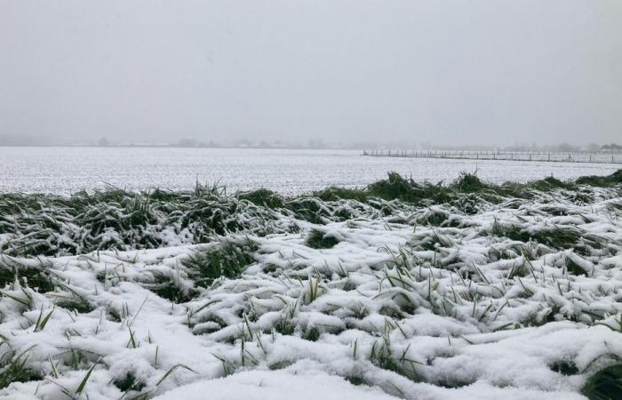
Snow in November is quite rare in the region. However, up to 10 cm are expected on Thursday, November 21 with the passage of storm Caetano. To understand, we asked three questions to Nicolas Buffard, meteorologist from Météo-France.
The essentials of the day: our exclusive selection
Every day, our editorial team reserves the best regional news for you. A selection just for you, to stay in touch with your regions.
France Télévisions uses your email address to send you the newsletter “The essentials of the day: our exclusive selection”. You can unsubscribe at any time via the link at the bottom of this newsletter. Our privacy policy
Snow in November… It's almost unheard of in Normandy. This morning, the first snowflakes fell on Orne, Manche, Eure, Calvados and even Seine-Maritime. Orange vigilance was declared this Thursday, November 21 in these territories, as in 52 other French departments.
The Cataenao depression would be a “early snow episode” − according to the Météo-France weather report −, characterized by snowfall ranging from 5 to 10 cm in the plains. Nicolas Buffard, referent of the institute in Normandy, explains this phenomenon to us.
The last time it snowed this early in the area was fourteen years ago. In 2010, this caused a lot of damage, notably at Cherbourg airport where 19 cm of snow was recorded. A few years earlier, in 2005, snow appeared in November as well. The entire region of Lower Normandy was affected by the phenomenon, with thicknesses ranging from 5 cm to 7 cm in the Orne.
At Météo-France, we consider a snowy episode to be early when it occurs in the second half of November, before the official arrival of winter. We also observed this phenomenon in 2017, 2018 and then in 2019, but on very small scales.
We can define this episode as sudden because the Cataenao depression deepened quite quickly in the Atlantic. It is currently crossing Normandy, carried by cold and warm air currents which increase precipitation. The arrival of gentler winds from the East will help us regain around ten degrees in a few days. It will be between 14° and 15° this weekend in Normandy.
This phenomenon does not happen every day, but the movement of air masses remains a natural climatic phenomenon. Last winter, in January, we sometimes recorded a temperature difference of 15 degrees between Alençon and Rouen.
With global warming, the trend is towards rising temperatures. Heat waves will arrive earlier, at the beginning of spring. Furthermore, over the last ten years, we have recorded the hottest days in Normandy. Note that the years 2022 and 2023 saw temperature records broken.
This will have the effect of reducing these episodes of early or late cold and snow when snow appears in March. This is not a characteristic of climate change, even if all eventualities are permitted in terms of weather.


