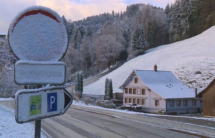
It only turned white in a few areas of Switzerland on Wednesday morning. For example in Fischingen TG and Sternenberg ZH. Tomorrow, Thursday, there will be widespread precipitation in the form of snow down to low altitudes.
“In the east, cold air remains near the ground with bise. That’s why it snows here all the time,” writes MeteoNews in the blog. Specifically, according to all weather models, it is certain that it will snow continuously in the very north and eastern Switzerland.
Responsible for the change in the weather is a low that is moving from Brittany eastwards across the western Alpine region to the Balkan region. “Embedded in a strong westerly high-altitude current, our country lies in the area of an air mass boundary that will trigger heavy rainfall from west to east over the course of Thursday,” explains Meteo News.
These initially fall widely in the form of snow down to low altitudes. In the evening and in the first half of the night, the core of the low lies almost exactly over western Switzerland, so that southwesterly winds can arise here for a short time and milder air can flow in.
The meteorologists are even expecting larger amounts of snow. This is due to the direction of movement of the low with an air mass boundary over Switzerland. “Practically all record snow events in the lowlands were caused by comparable weather conditions,” writes MeteoNews. Examples include March 5, 2006, when there was 53 centimeters of fresh snow in Zurich and 49 centimeters in Basel. “Such extreme amounts of snow are not to be expected, but in German-speaking Switzerland there is between 10 and over 20 centimeters of fresh snow.”
“The amount of new snow within one day in the lowlands is exceptional for November, if not record high in places,” says MeteoNews.
It is not yet entirely clear where there is the most snow. The different models used produce different results. In the lowlands of German-speaking Switzerland and in the Alpine valleys it is between five and 30 centimeters.
Significantly more snow may fall in the mountains. Over half a meter of fresh snow is forecast in the western Alps. The avalanche danger is likely to be set to at least level 3 on Friday.
“This means that roads will often be covered in snow at times and therefore difficult road conditions,” warn the meteorologists. It is advisable to allow more time for the commute to work, especially on Friday mornings. “If you haven’t changed to winter tires yet, you should definitely leave your car behind,” says MeteoNews.
Due to the larger amounts of fresh snow, branches and trunks must also be expected to break. “The trees are far from being rid of all their leaves, which means that the snow can accumulate on the branches and under certain circumstances they can break under the weight,” explains MeteoNews. In some cases, entire trees could topple under the weight of the snow. “In any case, it is advisable to exercise caution when walking in the freshly snow-covered forest on Friday.”
Have you been following on Whatsapp for 20 minutes?
A news overview in the morning and at the end of the day, surprising stories and breaking news: Subscribe to the 20 Minutes WhatsApp channel and you will receive regular updates with our best stories directly to your cell phone.


