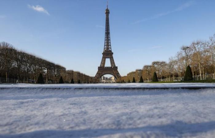
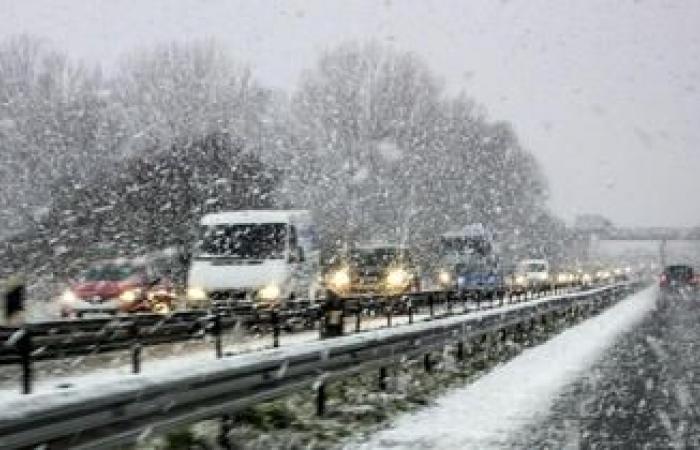
Some weather applications indicate that it will snow in Paris this Thursday, November 21. However, this is not the case with Météo-France or La Chaîne Météo. At issue: the different forecast models and their interpretations by professionals in the sector.
Will snow make its first appearance of the season in the capital this Thursday? This is the question that all Parisians may have asked themselves when scanning the weather applications on their phones (Google, Apple, etc.) which predict a risk of snowflakes overnight. But the question remains for those who have checked the Météo-France website, where the forecasts only indicate rain and cold. But who to believe and how to understand the situation?
The answer is ultimately simpler than it seems: for it to snow, you need the conjunction of a rainy disturbance and low temperatures, below 0°C (or barely above). Thursday, the Paris region could be affected. Several weather models, such as the French Arpège and the British Ukmo, anticipate 1 to 3 cm of snow precipitation in the capital and its suburbs.
But this is not the case for Météo-France or La Chaîne Météo models, which claim to be more “reworked” and therefore more precise. The latter do not indicate snow in Paris or its suburbs this Thursday. And for good reason: in addition to the model, the work of interpreting the latter is essential to make accurate forecasts. Two days before the deadline, even if the data is becoming clearer, it still remains uncertain.
Many parameters can intervene at the last moment and interfere on snow on the plains. The looming snow conflict could still move several dozen kilometers between now and Thursday, and cause, depending on its exact position: rain, snow or even simply dry cold. Finally, there remains the question of how the snow stays on the ground. Here again, it is difficult to accurately predict this parameter in the plains.
The question of ground hold
For very cold mountain areas, with frozen or snow-covered ground, it is easy to anticipate how the snowflakes will hold on the ground. For plains where the air temperature is close to 0°C, sometimes even higher, it is much more difficult. At this temperature, water can easily and quickly change from liquid to solid and vice versa.
Finally, several elements such as the temperature of the roadway, which itself is linked to the air temperature, humidity, or even sunshine during the hours preceding the snowfall, will influence its held on the ground. This explains in particular why the opinions of forecasters can differ. Answer Thursday.


