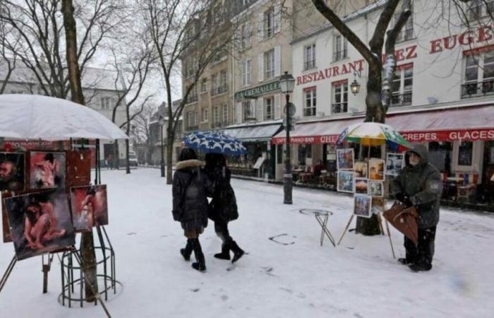
France is bracing for the first significant cold wave of the season, with temperatures tumbling across the nation. From chilly mornings to expected snow flurries, the country is stepping firmly away from the mild autumn weather it has enjoyed so far.
This sudden drop is due to the arrival of what meteorologists call a “cold drop,” which refers to pockets of cold air from high altitudes descending to lower levels. It’s interesting how it all works: this phenomenon often happens when the jet stream, which can be imagined as a fast river of air high above us, shifts, allowing colder air to make its way down.
By mid-week, temperatures will plummet even more. Various regions will experience their coldest days yet, with some areas even facing the possibility of snow. The northern and northeastern parts of France are gearing up for particularly frigid conditions, with daytime highs barely reaching above freezing near the Alps and other mountain ranges.
Weather services predicted temperatures just 3 degrees Celsius (37°F) at the low end of the scale, which is particularly cold for cities like Belfort and Strasbourg. Meanwhile, warmer areas like Nice and Ajaccio will still feel the chill but remain above 10 degrees—lucky them!
The situation is set to change slightly by Thursday, as clouds break to reveal sunny skies across much of the country. The warmer temperatures, climbing back up toward more seasonal averages, are expected to provide some relief for those who prefer the comforts of milder weather.
Nevertheless, this cold snap will still result in significant changes. Notably, across parts of the Jura and the Alps, snow is already accumulating at elevations over 1,000 meters. Some areas are anticipated to see snowfalls of about 10 to 15 centimeters (4 to 6 inches) above 1,500 meters. The visual of snow-covered mountains is certainly the hallmark of winter’s arrival.
This first brush with winter isn’t just limited to central and northern France; even the southwest and Provence will be touching the cooler side of the thermometer. Dense clouds will dominate the skies, casting shadows over towns and cities, which might feel dreary for some. But it’s all part of the seasonal shift—the transition from the vibrancy of fall leaves to landscapes draped in white.
By Friday, the cold will still linger, particularly with negative temperatures expected for the east and near-zero conditions for the north. Interestingly, the south may start to warm up again, with temperatures reaching as high as 18 or even 22 degrees Celsius (64 to 72°F) around Ajaccio as the weather front shifts.
Looking to the weekend, the weather continues its rollercoaster ride with more grey skies and potential rain across the northwest of France. Météo France has alerted the public to possible changes; as these fronts collide, they can lead to more unfriendly weather.
What about the skiing season? It’s kicking off, with some ski resorts eagerly preparing to welcome visitors. Still, for those wondering about white Christmases or long snowy stretches, this cold wave is expected to be brief. Forecasters are hinting at temperature rebounds as the cold air is likely to recede soon after the weekend.
Overall, this is just the beginning of what promises to be an unpredictable winter. With temperature swings and sporadic snowfalls, the climatic dance continues. France is reigniting its winter wardrobe, dusting off coats, scarves, and gloves as the season turns, ready to embrace whatever surprises lie ahead. From the snowy peaks to the chilly streets, there’s no doubt the weather’s going to keep everybody on their toes this winter!


