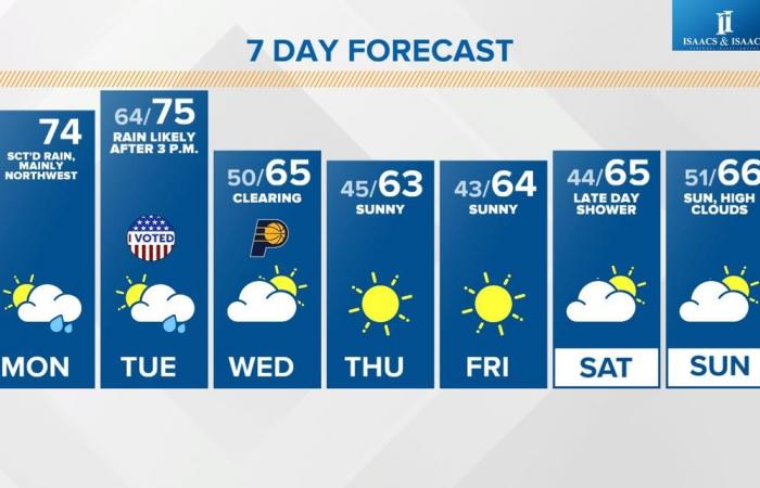
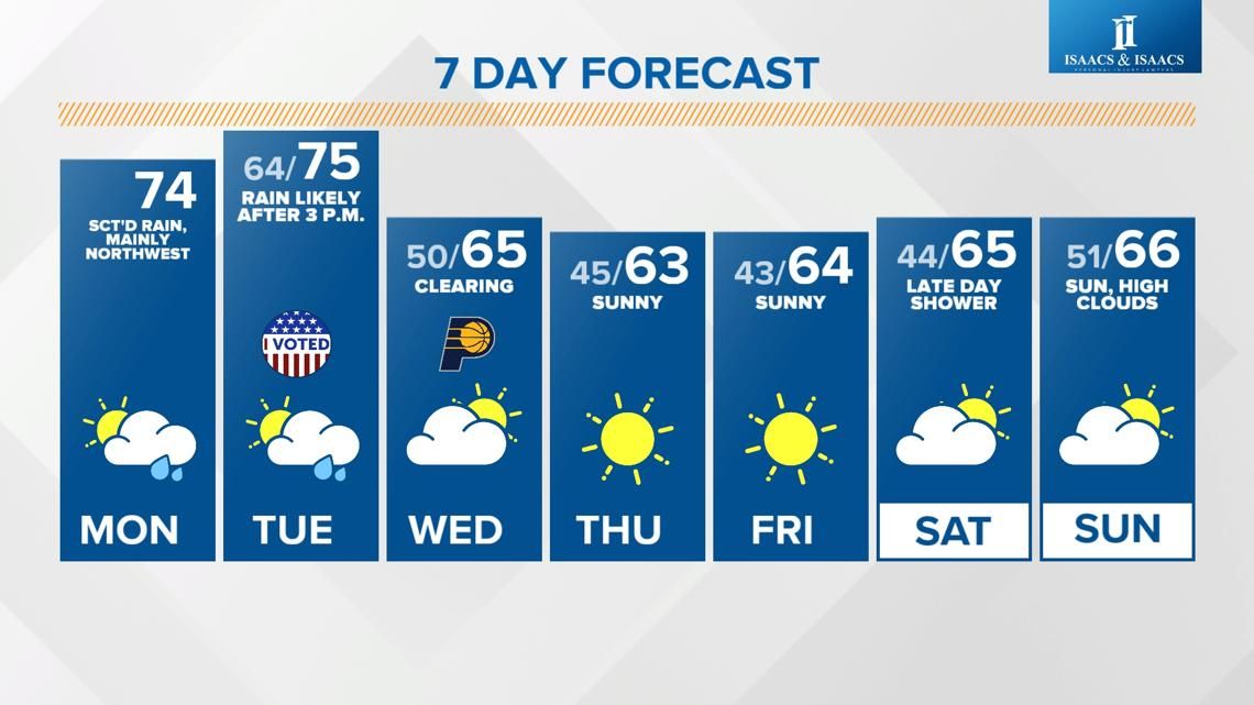
Rain will be most likely north and west of the I-69 corridor today, but widespread heavy rain moves through along a cold front tomorrow afternoon.
INDIANAPOLIS — Rain will be most likely north and west of the Interstate 69 corridor today, but widespread heavy rain moves through along a cold front Tuesday afternoon.
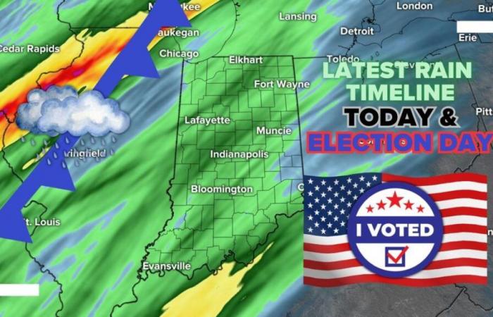
Latest rain timeline starting with today
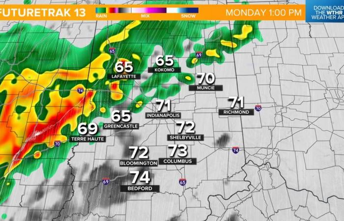
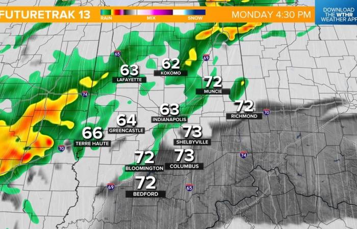
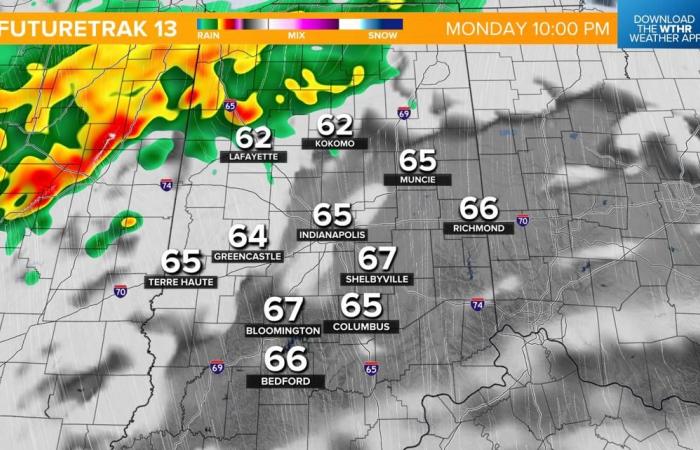
Most of the area has a chance for scattered showers today, but the better chance of more widespread rain that could be heavy at times will be primarily west and north of the I-69 corridor.

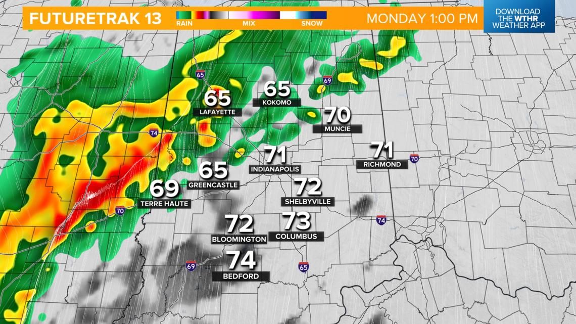

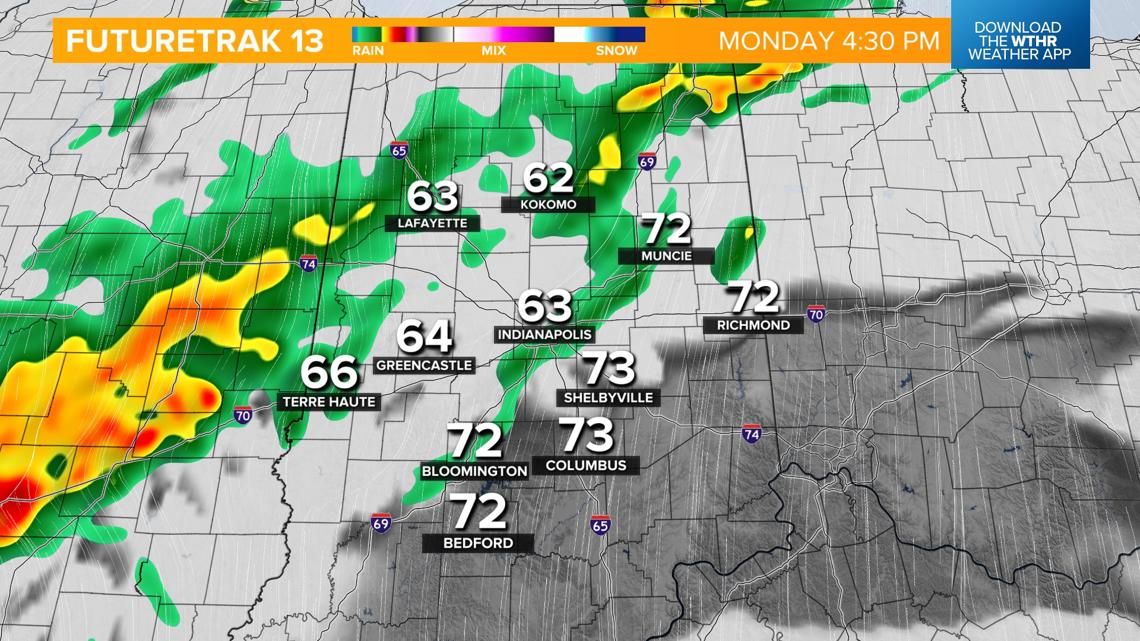
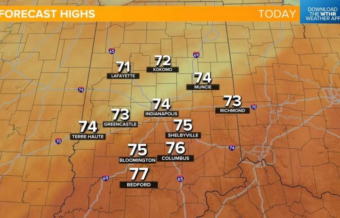
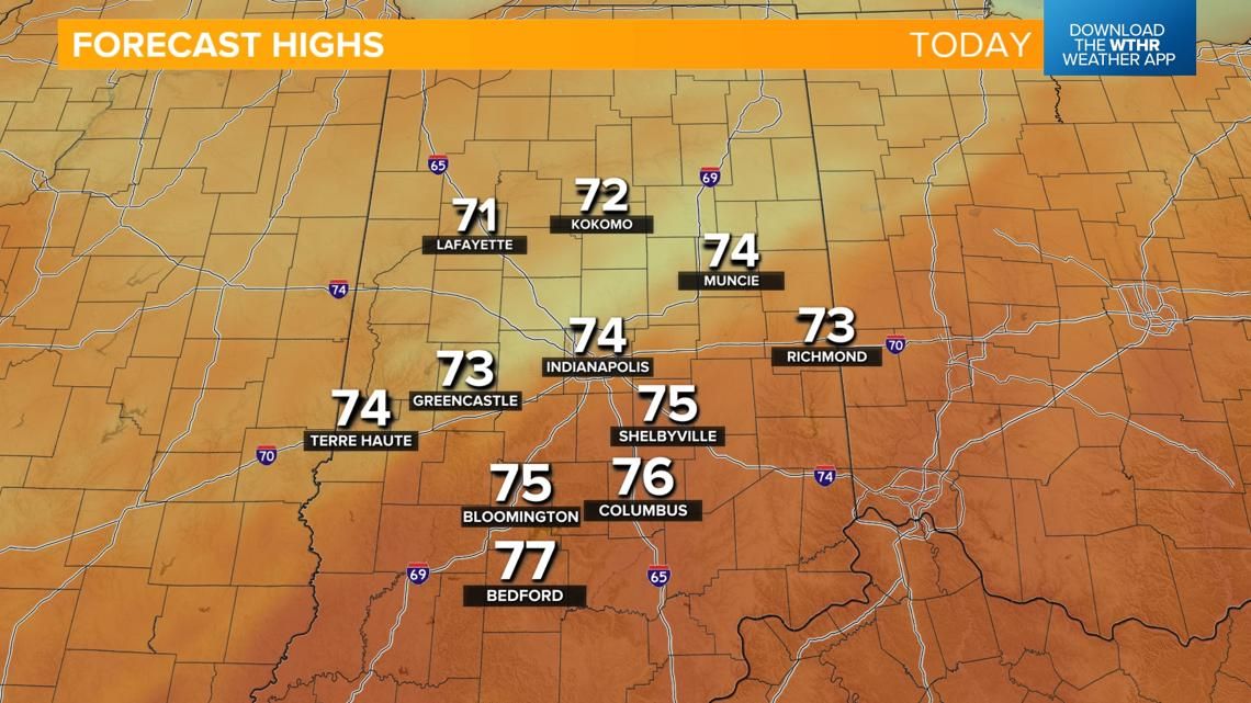
Indiana is sitting in the “warm sector” of a low pressure system today, which will keep gusty southerly winds up to 30-40 mph at times. This will keep temperature elevated despite the rain moving through. Areas that have the better chance of rain in northern Indiana will see slightly cooler highs in the low 70s, with warmer highs in the mid to upper 70s in southern Indiana, where we see more dry hours today.

A brief lull in rain chances late tonight into Tuesday morning
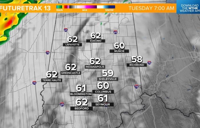
The bulk of the rain lifts north late tonight and during the overnight hours. With the exception of a stray shower or two, we stay mainly dry, cloudy, breezy and mild with lows in the 60s.

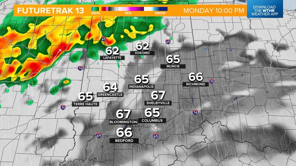

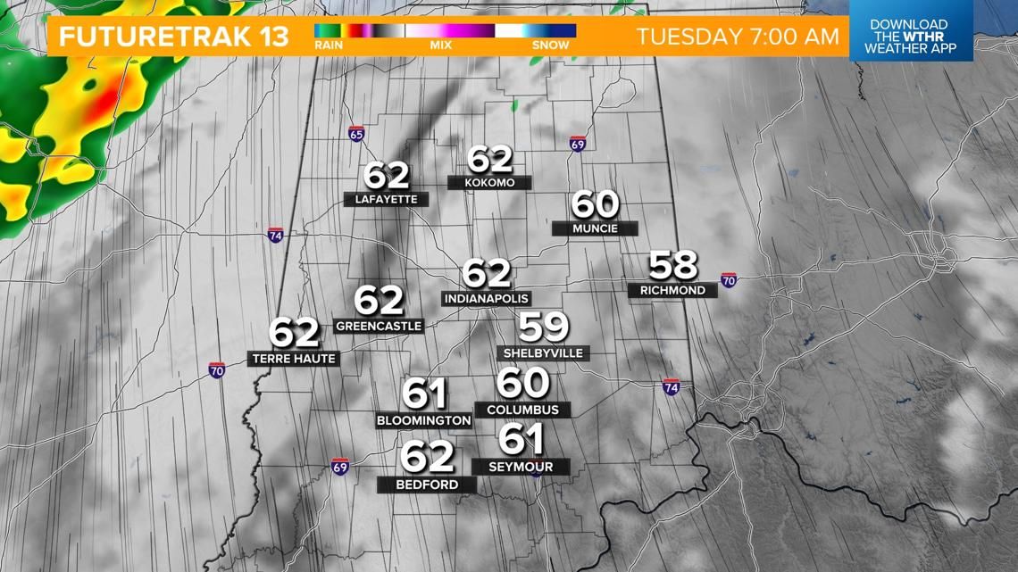
Election Day weather and latest rain timeline
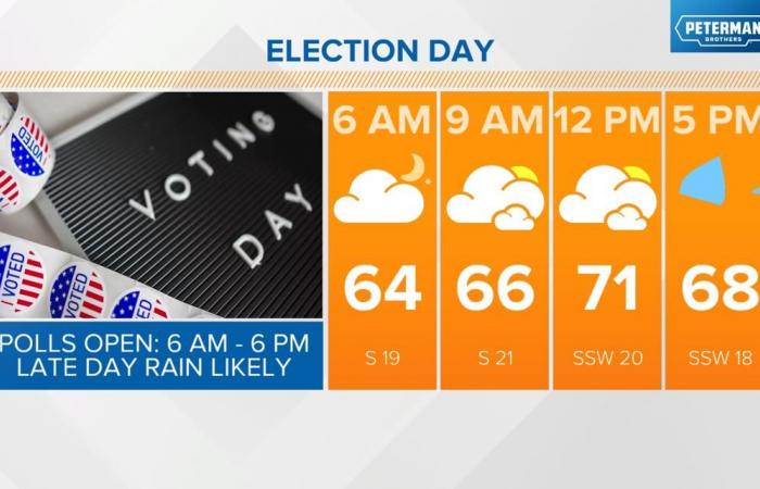
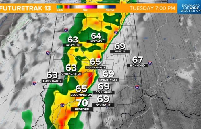
We start Tuesday on a dry note, but it will be warm and rather windy with gusts up to 40 mph possible through the morning. Temperatures will rise from the mid 60s to highs in the mid 70s by the early afternoon.

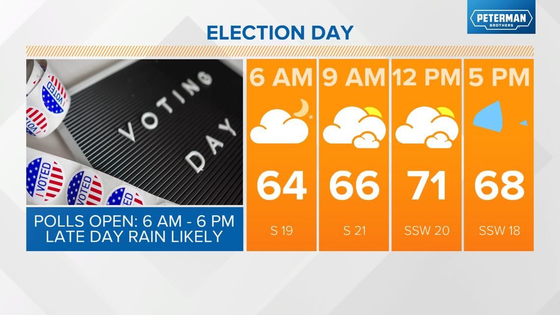
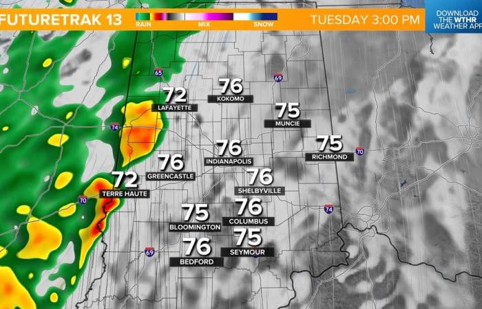
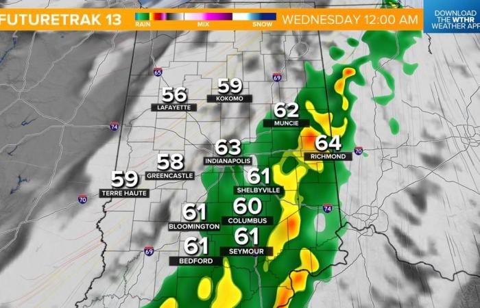
The cold front will prompt a line of showers, some heavy. This is set to move into the western tier of Indiana around 3 p.m. and track east into the metro by 5-7 p.m. Storms and severe weather are not expected. The earlier you head to the polls, the better the chance you have to stay dry.


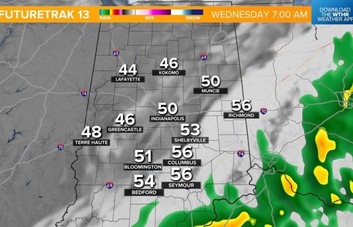
Showers will then linger across the southeastern tier of the state through the evening and eventually wrap up by daybreak Wednesday.

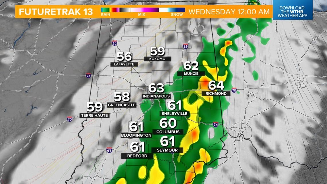


How much rain are we expecting with this weather system?
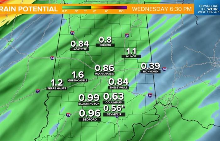
With much of the state reporting abnormally dry to severe drought conditions, this will be much-needed rainfall. Most spots can expect between 0.75-1.50″ by Wednesday morning.


Temperatures stay above average this week
Behind the cold front, skies clear on Wednesday, but temperatures will remain above average with highs in the mid 60s through next weekend.

Belgium

