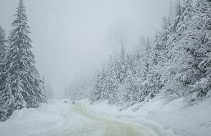
Our Thursday article therefore described the general situation and the meteorological context responsible for the unrest by already offering you a first forecast on the current episode which will continue and especially intensify tomorrow, Monday.
The very active North-West Current is therefore installed, draining humidity constantly over the Northern Alps and a very small part of the Southern Alps.
It did indeed snow, sometimes very low in sheltered valleys (600/800 meters), last night… but this Sunday morning the temporary warm weather is here and is accompanied by an increase in the rain limit. snow generally around 1500/1700 meters.
All this will evolve favorably from midday with a rain-snow limit which will begin to descend through Haute-Savoie towards 1200/1400 meters then 800/1000 meters everywhere by the end of the day. It is at this time that the situation will become very interesting for the middle and lower mountains with a snowy episode which sets in for more than 24 hours in all the massifs north of the Ecrins, it will be more short-term in the South or even anecdotal in Mercantour.
During the night from Sunday to Monday the rain-snow limit even drops to around 400/600 meters in the Alps, 500/700 meters in the Southern Alps but snowfall quickly becomes more scattered south of the Ecrins or even non-existent therefore at South of Ubaye.
With the flow shifting to the northern sector on Monday, the weather dries up south of the Ecrins from the start of the day with only snow overflowing near Drome, Savoie and Isère. During this time it snows, sometimes copiously on the exposed massifs, from 400/600 meters in the Northern Alps where the winter episode is at its peak. This snowy episode weakens in the evening, then stops almost everywhere in the middle of the night from Monday to Tuesday. It is, once again, in the massifs near Grenoble (Chartreuse, Nord-Vercors, Nord-Belledonne…) that the snowy episode will end last… rather at dawn on Tuesday.
Here is an idea of the snowfall accumulations expected in the Northern Alps, over the entire episode (i.e. from Saturday evening to Tuesday morning):
– around 800 meters: often 15 to 25 cm, locally 30 from Beaufortain to Haut-Giffre via the Mont-Blanc region.
– around 1600 meters: 30 to 40 cm in Est-Maurienne and Haute-Maurienne, generally 40 to 60 cm elsewhere or even 70 cm in Haut-Giffre/Beaufortain/Lauzière.
– above 2000 meters: 50 to 70 cm in Vercors,/East-Maurienne/Haute-Maurienne/Bauges, generally 60 to 80 cm elsewhere but up to one meter to one meter 20 on the most exposed massifs of the Eastern Haute-Savoie and Nord-Belledonne to Beaufortain via Lauzière.
In the Southern Alps therefore… the situation is well summarized on the map below, representing the total precipitation accumulations expected over the entire episode. We can clearly see this progressive drying as we reach the southern part of the massif.
This is due to a Foehn effect in a northwesterly flow when the wind passes the high summits of the Ecrins. All this is explained in more detail in our Tuto-Météo article, on snow cover in French mountain ranges, published a few years ago.
News
France


