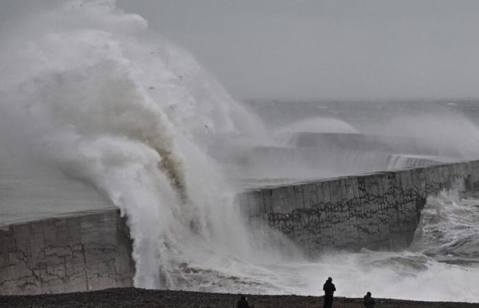
Winds of more than 170 km/h are expected between Ireland and Scotland from Friday. If France will not be affected by the most violent winds, the gusts which will sweep it will be accompanied by heavy rains, predicts The Weather Channel.
Storm Éowyn, which will hit the UK this Friday, is due to be “powerful” and will be there “more violent” since storm Ciaran, which left 23 dead across Europe last October and November, alert The Weather Channel *. Ireland has already been placed on pre-red alert.
“Depression Éowyn currently forming off the American coast will experience explosive development over the next 48 hours. It will be propelled towards the British Isles by a powerful jet current at altitude. We could talk about a weather bomb since Éowyn will lose more than 24 hPa in 24 hours, it will go from 975 hPa on Thursday to 936 hPa on Friday. Eowyn could therefore be the most violent storm in the United Kingdom since Ciaran as winds of over 170 km/h are expected between Ireland and Scotland.adds the bulletin.
Raging sea
The wind will strengthen in the middle of the night between Thursday and Friday. “The critical period is expected to begin around 3 a.m. (local time) with southwesterly gusts reaching 170 km/h on the coast and winds around 100 to 120 km/h inland”details the specialized site.
“The heart of the storm will pass mid-morning over the north of Ireland and peak wind intensity will then be reached with gusts of over 170 km/h on the west coast of Ireland and 120 to 150 km/h inland”adds La Chaîne Météo, which anticipates “a risk” that gusts exceed “more broadly” 170 km/h with models close to 200 km/h. “By mid-afternoon, the storm will pass north of Scotland which will in turn be hit by winds of 120 to 150 km/h. At the same time, England will be affected, but to a lesser extent with gusts of 90 to 110 km/h. Please note that the sea will be raging with waves of 7 to 10 meters to the west of Ireland.”
“Driving rain” and “clear mild spell” in France
“France remains on the sidelines of storm Éowyn, and will not be affected by the violent winds”warns for his part Weather France in a bulletin dated January 22. “In our country, this disrupted situation is also accompanied by a clear mild spell in many regions in the northern half after around ten days under anticyclonic domination. A change in weather is therefore taking place, with the return of rainy spells in the coming days.add the forecasters.
-So, add The Weather Channel, “the winds will strengthen especially in the north-west quarter of the country, linked to the passage of the British depression from the end of the night from Thursday to Friday. Gusts could reach between 80 and 100 km/h, locally 110 km/h along the coasts from Brittany to Hauts-de-France, accompanied by heavy rain as the cold front passes.. The wind will then weaken fairly quickly in the second part of the day on Friday, after the front has passed.
The Weather Channel
“After this strong gale, the low pressure flow will persist for the weekend and until the beginning of next week. New depressions could therefore follow a similar path, bringing disturbed conditions with new windy episodes, particularly Monday and Tuesday in the North-West. These developments will be clarified in the days to come.concludes The Weather Channel.
*The Weather Channel is a channel of the Figaro group.
France


