Low temperatures or a clear mild spell to be expected in the coming days? Discover the weather forecast for the coming week in France!
The weather conditions will be essentially anticyclonic on France. But anticyclone does not necessarily mean plenty of sunshine throughout the coming week. Find out what to expect and whether temperatures will rise… or not!
Sunshine!
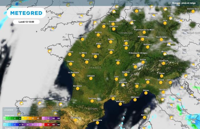
The start of the week will take place under generous sunshine. Indeed, the presence of the anticyclone combined with cold air present both on the ground and at altitude will promote good sunshine.
Small nuance towards Brittany with a much cloudier sky. Elsewhere in France, we will be able to observe some grayness which could be icing. Be careful of the sometimes slippery roads.
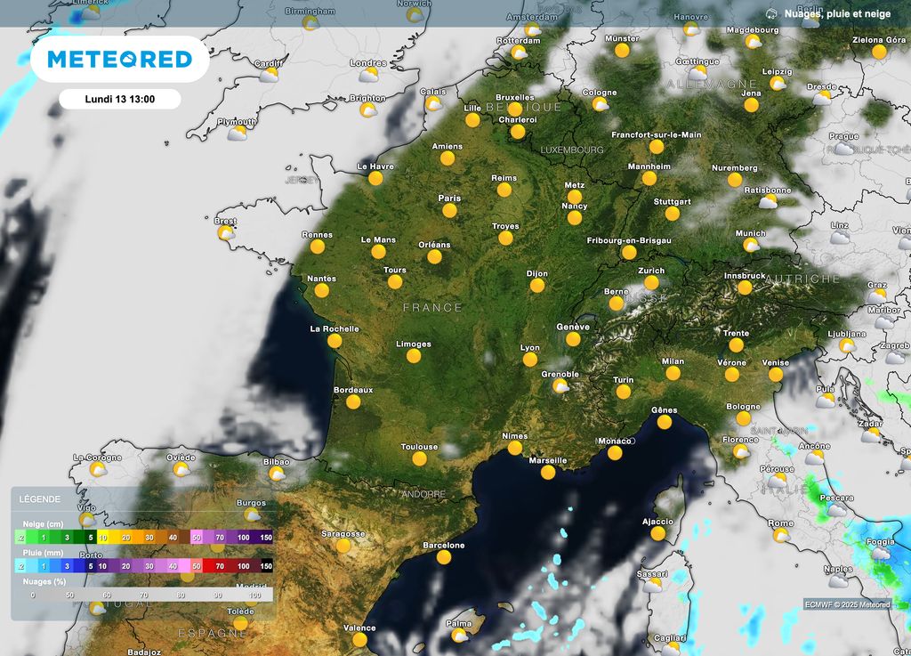
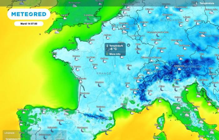
The wind gusts will be weak but the feeling may be lower than the measured temperatures. These could also frequently be between -5°C and -3°C in the plains. A winter cold which can also promote the stagnation of pollutants, especially in steep areas.
Gradually cloudier
By the end of Tuesday, a disturbance very attenuated by high pressures will appear over the north/northeast. However, we will mainly be talking about a rather cloudy to variable sky especially from the evening and night of Tuesday to Wednesday.
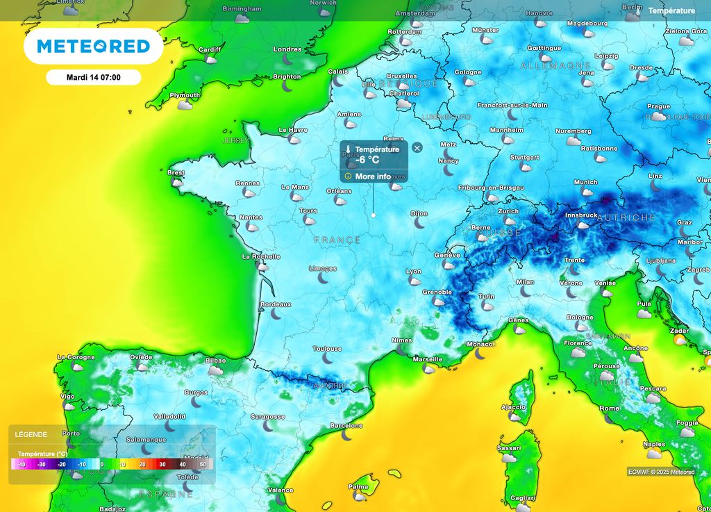
However, it will be advisable to keep the air still cold, especially in the morning. Temperatures are often expected to be negative both in the north and in the south.
For the following days, we will keep a high pressure field but with milder air at altitude. This could lead to more stubborn patches of gray, particularly in the northern half.
A little less cold
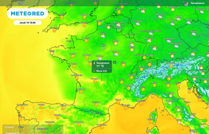
Although temperatures will rise at altitude, in the plains we can still observe frost. These promise to be a little less generalized and above all less marked.
Inversion phenomena may be observed : the temperature under the gray could remain close to 0°C for a good part of the days while in the mountains a certain mildness will be present.
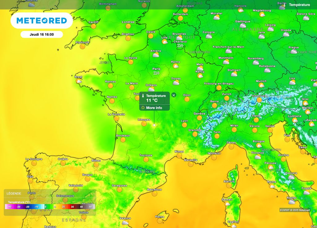
Note that in the southern half of France, the risk of gray weather seems more limited to date due to a little more mixing of the air. In fact, theDaytime temperatures will also be able to regain color thanks to the sunshine. This will also be the case in the north… if the gray weather becomes discreet during the day.
The very end of January could even continue calm conditions. This form of anticyclonic blocking will then allowsupport the decline of watercourses due to the absence of rainy periods.

