Instability is decreasing in France with the return of high pressures. Will this last? And if so, until when?
Anticyclonic conditions will persist throughout this weekend on France. But then, will the calm weather continue or will the rain and wind quickly return?
Flux continental
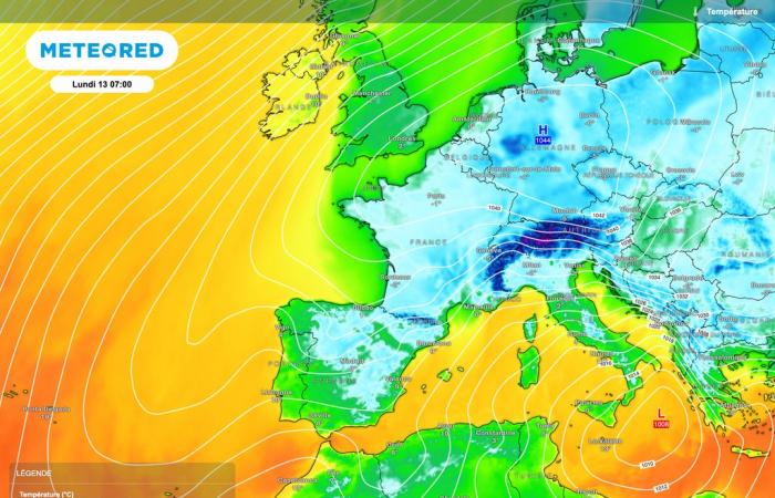
To start next week, the continental flow will be present. This indicates that the winds will come from the east to northeast sector. Cold air will continue to be present over France with numerous frosts.
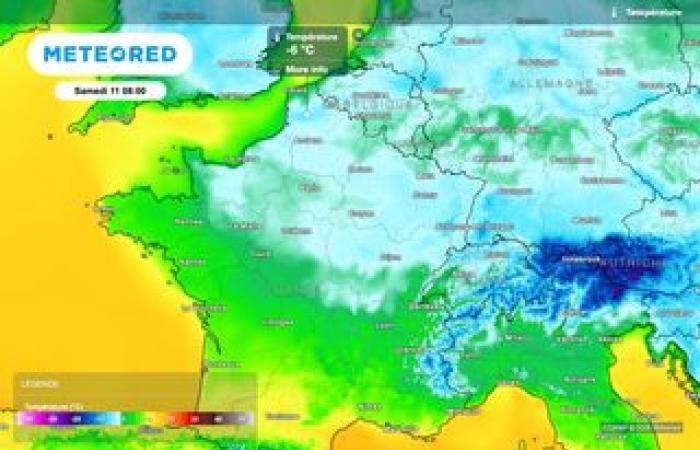
Frosts which could locally be severe (we speak of severe frost in meteorology from -5°C) at low altitude. Nothing really exceptional for the season but compared to recent days where the temperatures were sometimes very mild, it makes a strong contrast.
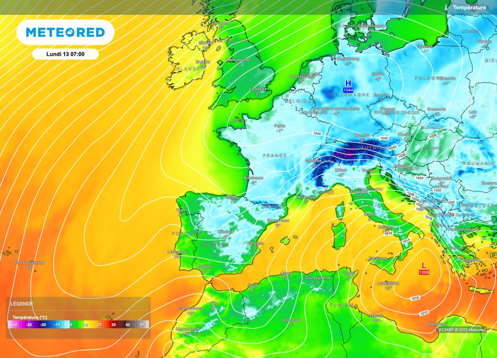
The feeling promises to be a little colder, especially in the southern half of France due to a little more wind than in the north. Scarves, gloves and hats will therefore still be necessary for the beginning of next week.
A little less cold
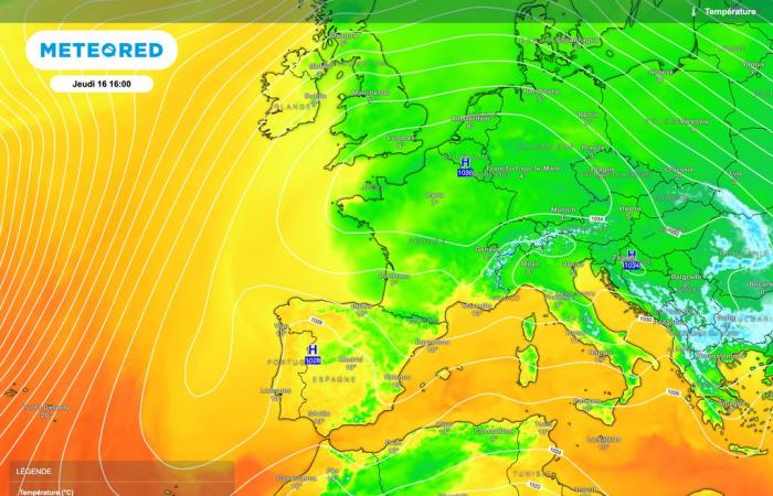
For the rest of next week, high pressures should indeed persist. Thus, calm weather will always be present with temperatures always low.
That being said, we could observe a small increase in the minimums and maximums. Values that could even go a little above normal during your afternoons.
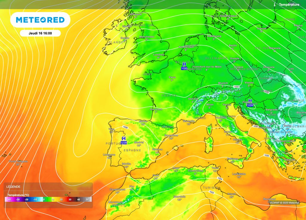
Local disparities are to be expected due to the possible presence of persistent low clouds: in fact, inversion phenomena are to be expectedblocking humidity more easily in the lower layers.
No depression?
If we look ahead to more distant exchanges, no big commotion is expected. At least this is what emerges from the various models until January 20 or even 25.
Subsequently, it is a little more uncertain: we can see an attempt by the depression regime to want to come to Western Europe. That being said, we will have time to come back to it before then.
Beware of pollution
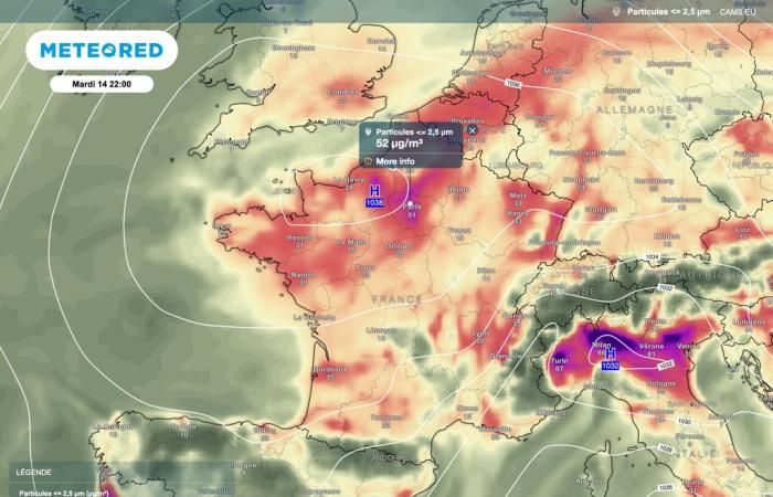
The persistence of anticyclonic conditions risks favoring the increase in fine particles. These latter are in particular emitted by thermal vehicles but also by factory activities and heating.
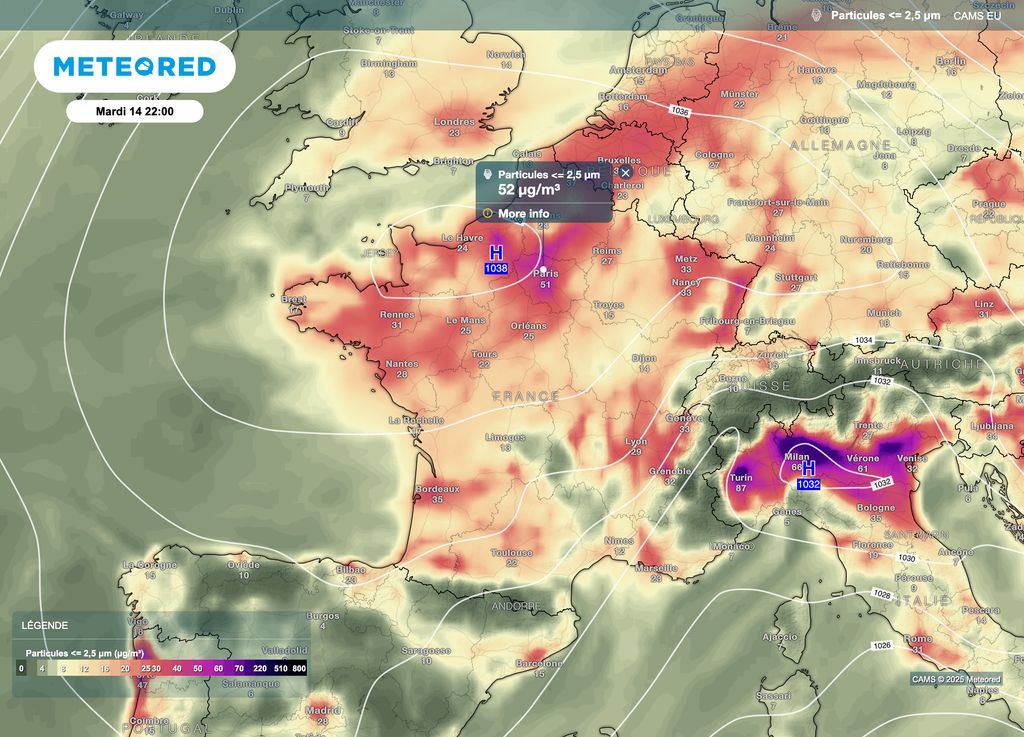
The high pressures act as a cover and the cold doesn’t help matters: pollutants are then found more easily concentrated in the lower layers of the atmosphere. A situation which could lead locally to a peak in pollution, particularly in the northern half of the country.


