Weather in French-speaking Switzerland –
Bliss and bitter cold will spend the weekend in the plains
After a mild week, the cold returned this weekend. Expect windy weather and freezing temperatures.
Published today at 2:30 p.m.
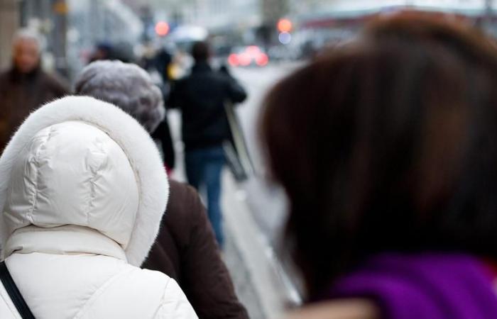
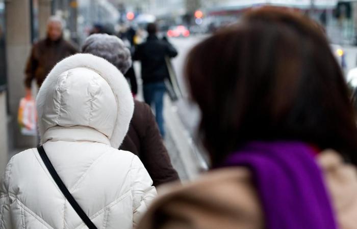
Temperatures will be around zero degrees throughout the weekend.
KEYSTONE/Jean-Christophe Bott
Subscribe now and enjoy the audio playback feature.
BotTalk
You will have to bring out the gloves and heavy coats. After a warm spell this weekthe cold should resurface during the weekend. In the meantime, a few flakes could fall this Friday afternoon on the Lake Geneva basin, “but it should quickly turn into rain”, indicates Didier Ulrich of MétéoSuisse, who specifies that the day will remain very gray.
According to the expert, Saturday will be a day of transition. “An anticyclone will form in the north of Switzerland, which means that there will still be quite a bit of cloud on Saturday morning. And as the hours pass, the sun’s rays could penetrate the clouds and temperatures could reach maximums of 4 degrees.
An unpleasant kiss
The wind is expected to lift on Saturday afternoon. The climate therefore promises not to be very pleasant since the wind will significantly lower temperatures.
On Sunday, this cold wind will certainly blow stronger in Geneva and Nyon, with gusts between 60 and 70 km/h, than in the Lausanne region. Didier Ulrich specifies that the wind will also be present in the Trois-Lacs region. “It will be cold, even very cold. Temperatures will approach freezing at the best of the day. The air is arriving from Eastern Europe and will stagnate for a good part of the week.”
On the mountain side, you will need to bundle up well if you plan to pass the weekend on skisbecause temperatures will be around -10 degrees around 1500 meters. The ski conditions are likely to be ideal since around fifteen centimeters of snow could fall this Friday in the Valais Alps. Didier Ulrich specifies that despite the cold, the sun should be out on the slopes on Saturday afternoon and Sunday. Really wintery conditions.
Persistent cold and gray
From the start of the coming week, the wind will weaken, but will remain present. In an anticyclonic situation which will be as such from Sunday, a stratus “lid” will reform, trapping cold air in the lower levels. This will cause a thermal inversion, where temperatures will be milder at altitude than in the lowlands. Thus, in the mountains, the weather will be sunnier and milder, while in the plains, the cold and grayness will persist, with temperatures close to zero.
According to Didier Ulrich, these are fairly typical winter situations: “We experienced a somewhat similar situation between Christmas and New Year, with very mild temperatures at altitude, while in the plains, we remained under a stratus with very little sunshine and fairly low temperatures,” explains the MeteoSwiss specialist.
Tuesday will be the day of the big change when the wind will completely fall and the stratus will be a little more compact. The sun will have difficulty peeking out and it will be necessary to stay covered: temperatures will struggle to rise above 2 degrees. According to the MeteoSwiss forecaster, this cloudy weather without precipitation should continue to accompany us throughout the coming week with fairly low temperatures in the plains.
Mathilde Schott is a freelance journalist within the digital unit of Tamedia. After studying geography, management and information and communication sciences, she obtained her Master’s degree from the Academy of Journalism and Media (AJM) at the University of Neuchâtel.More info
Did you find an error? Please report it to us.
0 comments


