Published on November 28, 2024 at 10:51 p.m.
A very particular phenomenon will generate heavy snow. Forecast.
Coastal squalls
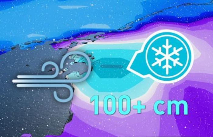
This time of year can give rise to a very particular phenomenon: coastal squalls. Large bodies of water can cause great instability in the atmosphere when the water is still warm and cold air passes over it. By Sunday, some areas could receive more than a meter of snow. This precipitation risks overflowing into Quebec, but the accumulations would be less significant.
Hot water
The contrast in temperatures is at the origin of this surprising phenomenon. The southeastern regions of the Great Lakes are particularly vulnerable to these squalls which can be severe during the passage of a cold front. Winds from the west or northwest carry an air mass which generates a significant difference with the water temperature.

Up to 100cm
Parts of Ontario, Ohio and western New York could receive heavy snow accumulations by late Sunday evening. 50 to 100 cm of snow would cover the ground in three days. The cities of Buffalo and Syracuse are ones to watch.

At the gates of Quebec
The weekend promises to be very different from what Quebec has experienced so far this week. Snow would overflow into La Belle Province on Saturday and Sunday. However, lower accumulations are anticipated. The sectors of the St. Lawrence valley would not escape snowfall and Estrie could even accumulate a few centimeters.

With the collaboration of Nicolas Lessard and Réjean Ouimet, meteorologists.
SEE ALSO: Record snow in Korea: pandas have fun
Canada


