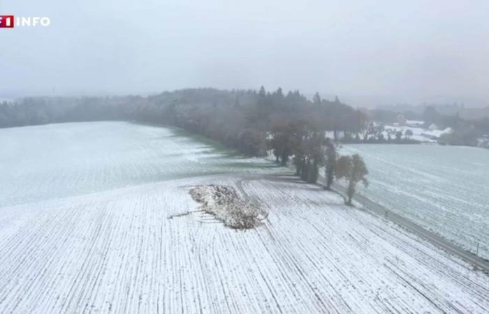
The snowy episode which crossed France this Thursday is early for the season, according to meteorologists.
In addition to this precocity, it is the number of departments concerned which is surprising this year compared to previous ones.
The 8 p.m. news takes stock of the exceptional nature of this phenomenon.
Follow the full coverage
Snow, ice: France facing a new cold wave
From Eure, to Cotentin, via Seine-Maritime, snow fell on a large part of France on Thursday, as illustrated in the report at the top of this article. In the evening, almost half of the country was still on orange alert, namely 43 departments, including 31 for snow and ice. It was in Val-d'Oise, around ten kilometers from Roissy-Charles-de-Gaulle airport, that the depth of snow recorded, at least twenty centimeters, was the greatest. A phenomenon that has become increasingly rare in the Paris region.
If snow tends to become rarer under the effect of global warming, early snow episodes, like the one currently experiencing France, are expected to be even rarer.
An early episode?
Meteorologists are unanimous: the snowy episode which began this Thursday is early for the season, because we are still in autumn. “We are not yet in meteorological winter, incursions of cold air are obviously less frequent than in winter,” details in the report at the top of this article, Frédéric Long is a forecaster at Météo-France.
In the opinion of specialists, what is particularly surprising this year is also and above all the number of departments concerned. To find a similar episode during the same period, we must go back to November 21, 2013, when significant snowfall swept France from the southwest to the northeast. Three years earlier, in 2010, a major snowfall also occurred at the end of November, between the 25th and 30th.
More snowfall expected?
As intense and early as it is, this episode will be short. According to the map detailed in the video above, the cold air mass coming from the polar circle which brings the snow, shown in blue, will cover the northern half of France until this Friday noon. Then, it will be quickly replaced by a mass of warm air coming from the south.
“So it's a relatively short phenomenon, why? Because we have a very active depression but which passes very quickly, with violent winds which propel it quickly from west to east”, explains Evelyne Dhéliat, head of the TF1-LCI weather service, before sharing the forecasts for the coming days. “For the weekend, we switch back to a southerly flow with extremely mild air and on Sunday, it will be spring-like.” 15 degrees are particularly expected in Rennes and up to 20 degrees in the southwest.


