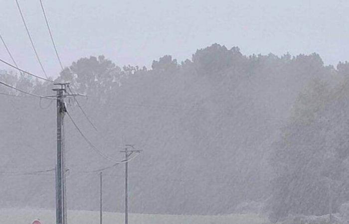
Forecasters expected significant variations across the department. They were right, this Thursday, November 21. From early morning, and all morning, snowflakes covered towns in the north of the department. The snow disturbance settled over a large part of northern France this Thursday, under the influence of the depression Caetano . A few flakes, freezing rain were observed.
Then the wind took over. Without stopping. Particularly in the south of the department, it blew at more than 100 km/h. At 7:30 p.m., firefighters counted nearly 471 interventions, particularly for falling trees linked to gusts.
The Enedis teams have not been idle, contacted by numerous households deprived of electricity. 9,500 customers were still waiting for a return to normal shortly before 8 p.m. Passengers, stuck at Angers station from the end of the afternoon, also had to be patient. A power outage in Nantes and falling trees paralyzed the rail network. No more trains left or arrived at the station around 7 p.m.
2 to 5 cm of snow in the north of the department
Should the situation improve? This depression should give way to clearings this Friday, November 22, 2024. The snow and ice alert goes from orange to yellow. During the night from Thursday to Friday, the sky will clear but temperatures will drop, causing a risk of icy conditions. “Wet soils from the previous day's rains could cause slippery roads, you will have to be vigilant on the roads in the morning,” explains Sébastien Decaux, meteorologist. Preventive salting should be carried out in the evening.
During the day, dry weather and clearings will come with temperatures rising to 8°C and 9C.
Read also: IN PICTURES. The snow fell this morning, Maine-et-Loire switches to orange vigilance for the wind
Saturday should be much cloudier, with an expected return of rain and wind gusts of up to 60 km/h.
This Thursday, November 21, “a violent conflict of air masses cut the department in two”, recalls Sébastien Decaux. A layer of snow of 2 to 5 cm fell in places, notably in the north of the department, and in Segréen. Temperatures were mixed, with up to 10°C in Angers and Cholet, and between 1°C and 2°C in the north of the department. “The depression arrived a little further north than expected, which explains the snow replaced by rain on the other half. » At the end of the day, the northern border, with Mayenne and Sarthe, was still affected by snowfall.
Read also: Storm Caetano: 235,000 homes without electricity, especially in the West
This weekend, the meteorologist predicts cloudy weather on Saturday morning, with rain in the afternoon with up to 13°C. “A south-southeast wind could reach 60 km/h in the evening. » On Sunday, temperatures will continue to rise but with a still fairly noticeable wind.


