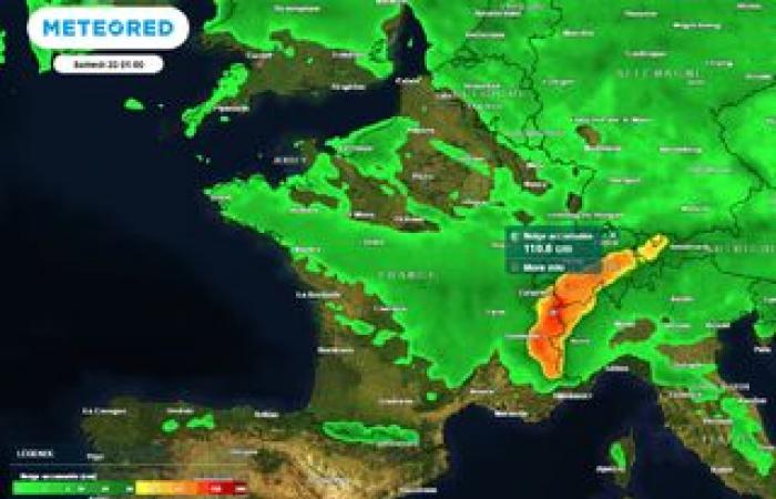
As expected, a spectacular drop in temperatures will affect France over the next few hours. Snow should also arrive quickly in the plains. Find all the latest forecasts in this article.
A significant drop in temperatures begins this evening in the far north of the territory after the passage of a cold front which brought locally sustained rain and caused a rise in the level of certain rivers. Moreover, the Pas-de-Calais department is placed on yellow alert by Vigicrues, and the Liane overflowed in the Hesdigneul-lès-Boulogne sector.
Fortunately, the precipitation will ease in the far north of France over the next few hours. However, a maritime polar air mass will surge and engulf a very large part of the country. Snowfall will drop to 500/600 meters on the reliefs, and a few flakes could even reach the plain in the north-east or the Normandy hills, under a slightly more active trailing sky.
The cold will intensify further on Thursday in the north of the country, with probable snowfall in the plains in several regions. However, the situation remains complex to anticipate: this snow disturbance is still subject to significant divergences between models this evening. Tomorrow we will refine the areas potentially affected by this snowfall forecast for Thursday.
Maritime polar cold, snow in the plains: here is the very latest information that we can send you at this time.
Arrival of maritime polar cold
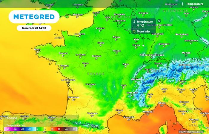
Temperatures will therefore drop sharply over the next few hours, with a local drop of more than 5 degrees in just 24 hours.
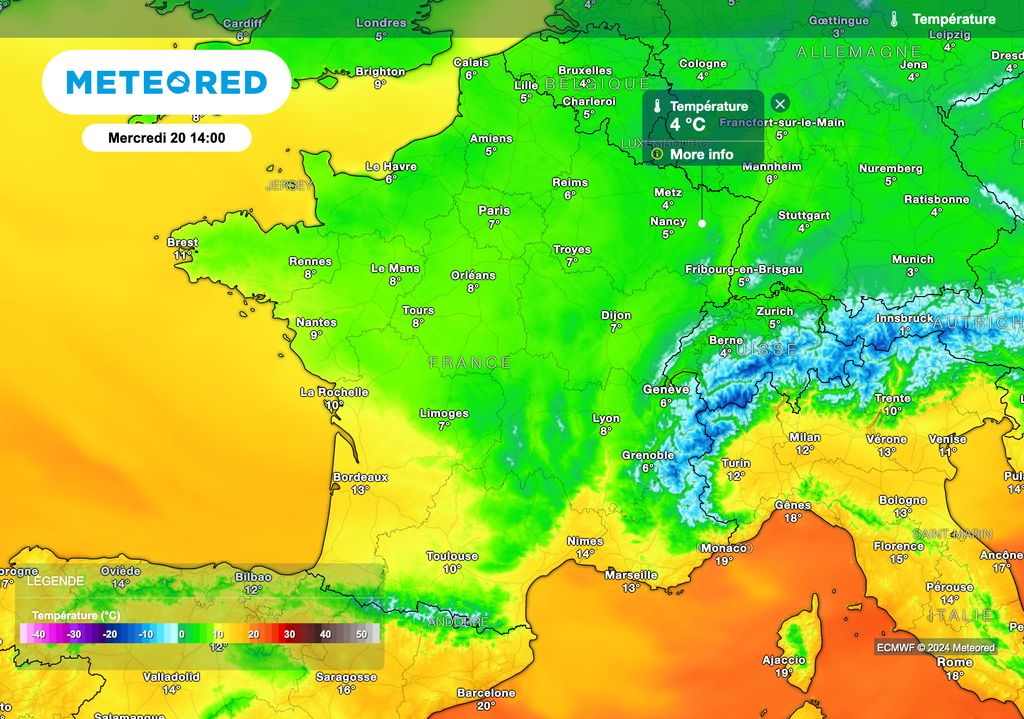
Temperatures will therefore drop to be located almost 5 degrees below seasonal norms over a large northern half of France.
In detail, we wait 4°C in Metz and Nancy, 5°C in Lille and Reims, 6°C in Rouen, Alençon, Mulhouse and Aurillac, 7°C in Strasbourg, Orléans and Caen, 8°C in Cherbourg and Lyon, 9°C in Rennes and Limoges, 10°C in La Rochelle, 11°C in Toulouse and Auch, 12°C in Bordeaux, 13°C in Perpignan, 14°C in Nîmes and Biarritz, 15°C in Montpellier and Toulon, 18°C in Nice and Ajaccio and 20°C in Bastia.
Cold and snow Thursday?
THURSDAY, a violent conflict of air masses will settle over France, with very mild air in the south and cold air which will persist in the north of the country. In the conflict zone, snowfall is expected up to the plains.
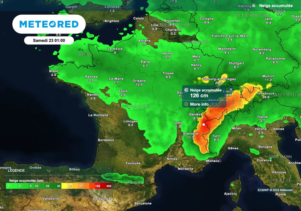
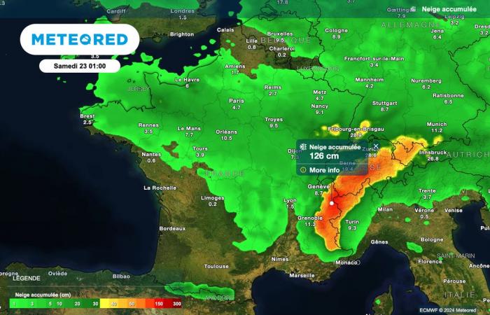
According to the latest forecasts, which will have to be further refined in the coming hours, snowfall is possible up to the plains in the areas indicated in green on our map below.
However, this zoning will be adjusted tomorrow, because everything will depend on the precise trajectory of the depression. However, we can think this evening that snowfall is likely on Thursday, extending from northern Brittany to Normandy, via Île-de-France, Centre-Val de Loire, Bourgogne-Franche- County, part of the Grand Est region and the Alps.
Once again, this zoning, as well as the expected snow quantities, will be refined in the coming hours.


