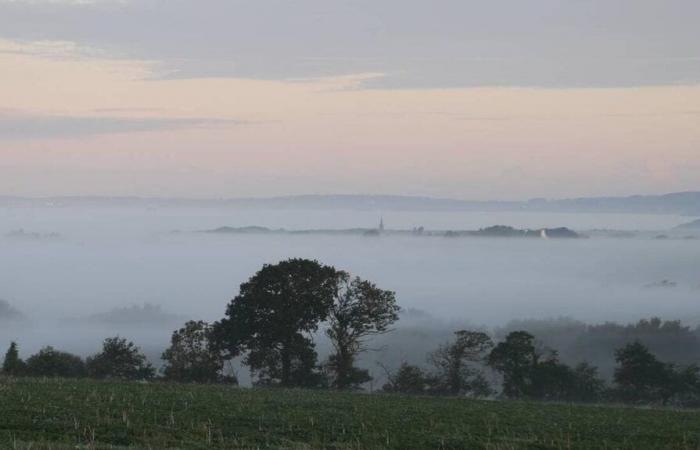
It has been several days since some French people have seen the sun, the fault of particularly stubborn patches of fog and low clouds. And, bad news for them, they may have to wait a little longer before seeing him again. According to the latest weather forecasts, the pattern which gives rise to these persistent mists should last for a few days.
Anticyclone, humidity and absence of wind
As a reminder, this situation is primarily linked to the significant humidity that the rains of recent weeks have brought to certain French regions. It is also a consequence of the drop in temperatures, which allows the condensation of this humidity, the absence of wind and the lack of power of the autumn sun, both of which prevent the fog from dissipating.
Finally, it is linked to the presence over France and a large part of Europe of a powerful anticyclone, whose strong pressures tend to push humidity towards the ground and therefore promote the formation of mists and fogs.
Still strong pressures at the start of next week
These conditions conducive to sky congestion should continue to be observed in France until the end of the week. “But we will occasionally be able to see the return of the sun if we have a little more wind from the south or southeast”explains Yann Amice, meteorologist for Weather & Co. In the Great West, this should particularly be the case this Friday, before the sky clouds over again during the weekend.
These anticyclonic conditions are expected to continue next week. This is particularly what the map below shows, taken from the European model forecasts. Presenting the pressure anomalies to expect during the week of November 11, it indicates that France will remain largely under the influence of an anticyclone, shown in pink on the map.
“But we will change anticyclone! “, points out Yann Amice. “We are leaving a well-established system over northern Europe to go, from Sunday, on a cycle with an anticyclone positioned over the British Isles. »
Towards a sharp drop in temperatures
This shift in high pressures will modify atmospheric circulation in Europe, favoring the arrival in France of air masses from the North or North-East. As Yann Amice notes, this flow will always favor “mists, low clouds and light rain”, particularly in the northern half and at the start of the week.
But it will also be responsible for a significant drop in mercury. “Temperatures will drop throughout the week and are expected to fall below normal from Wednesday”confirms Météo France, in its medium-term forecasts. “In Paris, we will have maximums of 15 or 16°C on Saturday and we will drop to 7 or 8°C on Wednesday”illustrates Yann Amice. In Nantes, we will go from 16 to 10°C between these two dates. Same in Rennes. In Caen, the mercury will drop from 16 to 9°C.
This shift towards a flow coming from the north or the north-east could also, in the middle of next week, project a cold drop as far as the Mediterranean regions, in particular the Gulf of Genoa. A cold drop whose consequences will have to be monitored, particularly in terms of rainfall in the south-east of France.


