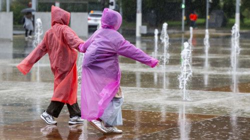
Strong precipitation is expected in the coming days in certain regions of Switzerland. Locally violent thunderstorms could hit the Broye and Lac district in the next few hours. According to weather forecasts, intense precipitation is also expected in the region. The authorities call for vigilance, especially in the event of travel or outdoor activities.
Snowfall in Valais
In Haut-Valais, in particular in the southern region of Simplon and in the SaaS valley, strong precipitation is expected between Tuesday 6:00 p.m. and Thursday 6:00 p.m. Météosuisse announces a degree of danger called “very strong”, or 5/5.
Strong snowfall are expected in the region between Wednesday 6:00 p.m. and Thursday 6:00 p.m., sometimes to the bottom of the valleys. Météosuisse speaks of a possible cumulation of 60 to 120 cm above 1800 meters, or even more on the high peaks and between 150 and 250 mm of water below.
The Zermatt valley and the Binntal are also under alert with a “strong” level 4 danger for bad weather and degree 3 for snowfall, said Météosuisse.
Regarding the Rhône, a level of degree 2 (limited danger) could be reached on Thursday. Météosuisse recommends moving away from rivers, including dried stream beds, lakes or rivers and steep slopes
Val Maggia Arrosé
In neighboring regions, of which Ticino is a part, we must expect precipitation between 80 and 150 millimeters, said Luca Panziera de Météosuisse Tuesday at the Keystone-ATS news agency.
Although Ticino is on the sidelines of the dam area, considerable amounts of rain are still expected, 80 millimeters in the east of the canton, up to 180 millimeters in the Maggia Val.
These regions are placed in alert level 2. In the western part of Val Maggia, precipitation could even locally reach the level 3 threshold, according to Mr. Panziera. The most important precipitation is expected between Wednesday 6:00 a.m. and Thursday 12:00 p.m.


