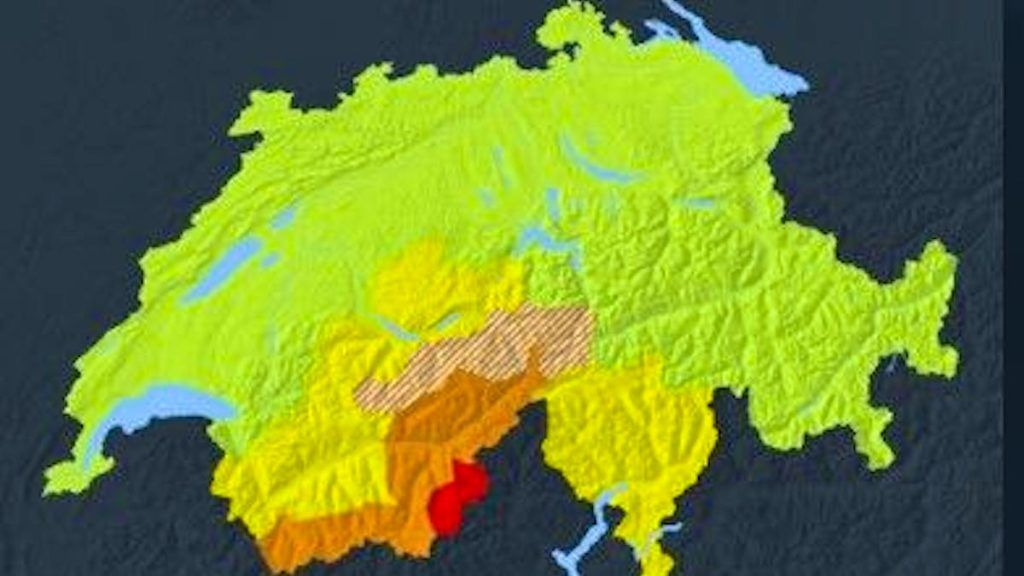
For this Tuesday, April 15, Météosuisse issued a danger of bad weather which will mainly touch the south of Switzerland. Strong precipitation is expected at the end of the day and on the night of Tuesday to Wednesday, on the southern slope of the Alps. They will mainly touch Valais, the Simplon region (strong danger), the Gothard massif and to a lesser extent Bas-Valais and the Bernese Oberland.
According to the national agency, this Tuesday, locally strong showers and thunderstorms will also affect the north of the Alps at the end of the afternoon, “especially along the Jura and the Plateau”. Southwest gusts are possible on the set at the end of the day in case of thunderstorms.
On Wednesday, the day will start under a very cloudy sky with frequent precipitation, always abundant in the Simplon region and on the southern crest of the Valais Alps. The weather will cool off with a drop in the rain-snow limit from 2200 to 1500 m in the evening. Maximum temperatures will not exceed 13 degrees.
During the next two days, between 30 to 50 cm of fresh snow are expected in the Valais Alps above 2,200 m, up to 80 cm in the Simplon region.
This precipitation will continue on Thursday, still in the same regions, while it will be even fresher with a rain-snow limit around 1200 m and a maximum temperature of 9 degrees. But for the Easter weekend, temperatures should fortunately go up around 20 degrees.


