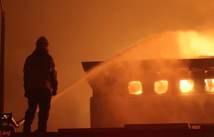
Southern California, and more particularly the surroundings of the city of Los Angeles, are victims of intense fires. Forest fires visible in real time on Google Maps. The application also offers monitoring of this type for France, which is also affected in the summer.
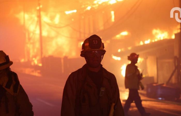
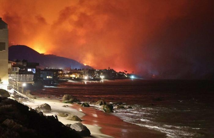
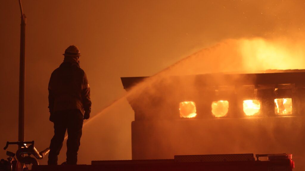
These are spectacular images reaching us from Los Angeles in recent days. Since January 7, the metropolis and neighboring regions of Southern California have been hit by particularly intense forest fires. The fires have already destroyed certain neighborhoods, and the human toll stands at ten dead. Tens of thousands of people had to be evacuated.
These fires were described by US President Joe Biden as “ the most extensive and devastating » from the history of California. Since then, numerous resources have been mobilized and sent to this state to help the populations and try to regain control of the flames. Technological tools are not left out.
Google Maps, for example, can provide practical information.
How to see the lights on Google Maps?
The American web giant’s mobile application includes a functionality allowing you to see in real time the presence of forest fires on the planet, and especially around you. This parameter was deployed in the summer of 2024 in France and in several European countries, as well as in a few other nations, particularly in Africa.
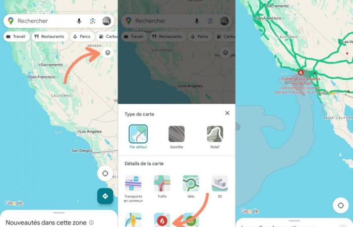
To view current fires, you must follow the following steps:
- Launch Google Maps on your smartphone;
- Click on the layers icon at the top right of the Maps interface;
- Select the “Wildfires” option in the map details;
- Move around on Maps to view areas affected by fires;
- That’s all!
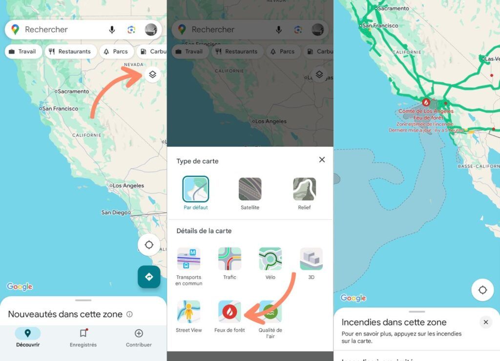

If you want to return to the normal display, all you have to do is press the cross at the top right of the insert which is displayed superimposed on the map.
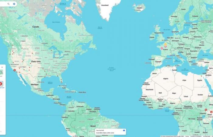
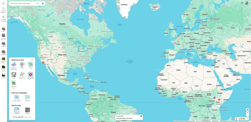
Where are there forest fires in the world?
According to the Global View, as of January 10, 2025, other fires are active elsewhere in the United States. They are also found in Argentina, Kenya, Egypt, Indonesia and Australia. Their severity and extent vary. Details are given when you click on one of the points indicated on the map.
In the case of Southern California, which is in the news and often affected, Maps also shows the roads closed to traffic and the estimated area of the spread of fires. We see the approximate extent of the plume as well as details on the intensity of the smoke (heavy or medium). Finally, there are links to recent press articles.
-How do you know if there is a fire going on nearby?
If a forest fire is in progress in France, and you are nearby, you are likely to see an alert from Google Maps. These reports also include earthquakes, floods, hurricanes (or typhoons) and tropical storms. In the event of a crisis, the alert is displayed directly on Maps, regardless of the type of view currently displayed.

These indications concern forest fires and major fires. They do not specifically concern classic fires in urban areas, for example from a home. For the occupants of a house or apartment, it is not Google Maps that must be used here, to get the alert, but a smoke detector.
If the situation is serious, a report via FR-Alert is also plausible.
How to anticipate forest fires?
It is difficult to anticipate forest fires. According to the French forest observatory, 90% of fire outbreaks are of human origin. The only natural cause is lightning. France is not spared from these fires, which mainly occur during the summer. Climate change, which accentuates episodes of drought, is an aggravating factor.
In 2022, during a historically intense drought, 59,000 ha were covered by fires, according to the observatory. An exceptional situation: usually, the areas destroyed by fires average 9,000 ha/year during the decade 2014-2024. Overall, fires are better anticipated and controlled than previously in France.

This is due, explains the observatory, to the “ combined effects of prevention and control measures » et « effectiveness of the emerging fire attack strategy “. More modern technological means, such as the use of drones and artificial intelligence, also play a role – this was also seen for the Notre-Dame fire.
And ” forest fires were kept at relatively low levels in France » after the 90s, notes the observatory, after two more critical decades, everything is not rosy. Global warming, first of all, is a first challenge. The aging of the Canadair fleet is another. Its renewal was announced, but it is stalling.

