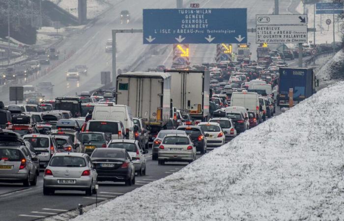
Three departments in the Auvergne-Rhône-Alpes region – Haute-Savoie, Savoie and Isère – have been placed on orange alert for the risk of snowfall and ice and the risk of avalanches for the days of Monday December 23 and Tuesday, December 24. The Ain department was placed on orange alert for snow and ice for Monday alone.
« In connection with depression Enol (…)heavy snowfall occurs in the north of the Alps from the middle mountains »explains Météo-France, which observes that “the snow sticks to the ground from 300 to 400 meters above sea level, or even a little lower”. The layer of snow reaches 5 to 10 centimeters from 500 meters above sea level, 30 centimeters in medium mountains and 40 to 60 centimeters at high altitude, the meteorological organization also reports.
According to Météo-France, the northwest wind “exceeds 80 kilometers per hour in gusts in mid-mountains, which can cause snow accumulation in places”.
Motorists are called to “great vigilance” and to drive equipped with winter tires or chains. Also be careful in the many departments of the East, Center-East and South-West placed on yellow alert for the risk of snowfall and ice.
Accumulations of snow are likely to disrupt access to high altitude stations, Météo-France further specifies. Start of the winter holidays obliges, “many of our customers arrived yesterday and are therefore already there”Anne Marty, president of Domaines skiables de France, told Agence France-Presse.
Of “great avalanches” will be triggered as the snow episode progresses, Météo-France predicts. They “will be able to reach exposed mountain roads as well as high-altitude infrastructure”. Consequently, off-piste skiing is strongly discouraged.
France


