After a very mild peak, will the cold arrive by the first days of December in France? Discover the weather trends through these new lines that we offer you.
After the very brief winter period in the second part of last week, the weather conditions were sometimes very spring-like in terms of temperatures between Sunday and Monday. Since then, a further drop in temperatures has been observed. But does this mean cold weather by December or will oceanic mildness and its share of bad weather return?
A low pressure and anticyclonic influence
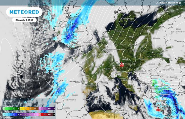
To date, the various atmospheric projections are quite clear by the very end of this month of November and for the first days of December. On the northern half, the depressions circulating between the Atlantic Ocean and the north of the Scandinavian countries will bring more or less clear cloud scarves.
Also, rain could still occur, especially along the coasts. However, the presence of high pressures further south will limit the impact of these disturbances.

And for good reason, the anticyclonic zone should remain over a good part of France. Certainly, the further north we go, the less strong its influence will be. However, for these The next 10 days should keep the weather mostly calm. on the hexagon. This should also favor temperatures rather close to normal or even occasionally lower before December 6.
Depression activity on the rise
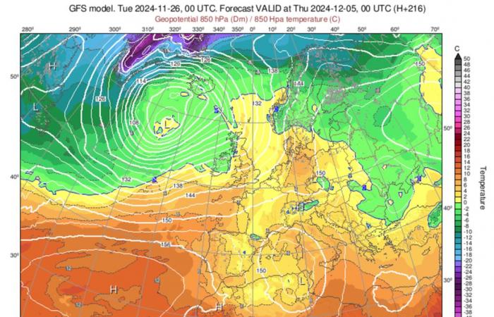
By second week of December, depression activity should intensify to the British Isles. Little by little, the disturbances may become more pronounced in the northern half of France.
In these conditions, we should observe further regular rain as well as sometimes sustained winds. At present, it is of course too early to give possible wind speeds. But the situation remains to be monitored since we are still in the season where windy episodes are entirely possible.

However, if we observe the atmospheric projections of the American GFS model, a powerful anticyclone should once again prevent the bulk of the disturbances from settling permanently in France or nearby.
Cold in sight?
A slightly cooler period is possible between now and the beginning of December. We should then find seasonal temperatures or possibly very occasionally below them.
Overall, it is therefore a thermometer close to normal which appears to have a tendency to be a little higher. At altitude, cold air masses should appear more frequently than in recent weeks (without being noticeable).
These next few days will allow us to see more clearly the trends of the next 2 weeks. However, if you would like to experience a snowy episode like last week, this is not expected at the moment.


